-
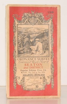
ORDNANCE SURVEY
Ordnance Survey Contoured Road Map of Seaton and District
Sheet 139. Popular Edition. Scale One Inch to One Mile
Read more details -
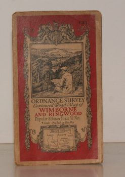
ORDNANCE SURVEY
Ordnance Survey Contoured Road Map of Wimborne and Ringwood
Sheet 131. Popular Edition. Scale One Inch to One Mile.
Read more details -
-
-
SALTER, Rev. Herbert Edward
Medieval Oxford. [The Ford Lectures for 1935.]
[Facsimile reissue.]
Read more details -
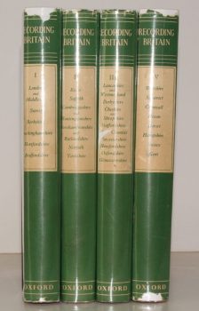
PALMER, ed., Arnold
Recording Britain. [A Permanent Memorial of the Changing Face of Britain by 95 well-known Artists.]
[Edited, with Notes, by Arnold Palmer.]
Read more details -
-
-
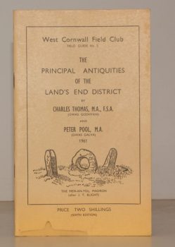
THOMAS, Charles
West Cornwall Field Club. Field Guide No. 2. The Principal Antiquities of the Land’s End District
Read more details -

WARD LOCK RED GUIDE
Guide to Bideford, Clovelly, Westward Ho!, Barnstaple, Ilfracombe and North-West Devon
Special Section for Motorists. Fifteenth Edition.
Read more details -
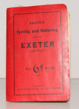
CYCLING & MOTORING MAP OF EXETER DISTRICT
Bacon’s Cycling and Motoring Map of Exeter District[Cycling and Touring] Map of 60 Miles South of London, including Worthing, Brighton, Hastings, etc.
Scale Half an Inch to One Mile.
Read more details -
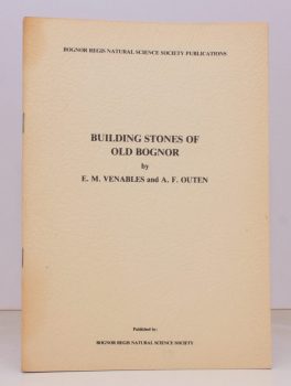
VENABLES, E. M.
Building Stones of Old Bognor
With Geological and Historical Sketches.
Read more details -

WARD LOCK RED GUIDE
Guide to the Cotswolds. With Special Sections on Natural Life and Antiquities by H.J. Massingham and Architecture by Clough Williams-Ellis.
Third Edition.
Read more details -
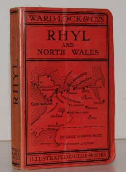
WARD LOCK RED GUIDE
A Pictorial and Descriptive Guide to Rhyl and North Wales (Northern Section). Special Section for Motorists
Eleventh Edition, revised.
Read more details -

-

COOKE, E. W.
Old and New London Bridge. A Selection of Drawings reproduced from Originals in the Possession of the Guildhall Art Gallery
Read more details -

-

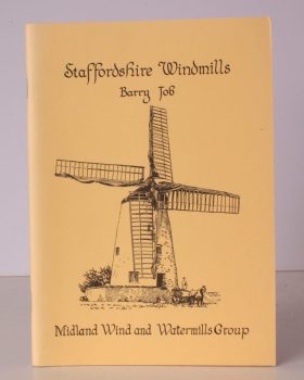
FOWELL, G. M.
Windmills in Sussex
Illustrated and Data collected by A. Foord Hughes.
Read more details -
-

-

WHITBREAD GROUP OF COMPANIES
The House of Whitbread. The Magazine of the Whitbread Group of Companies. Spring 1950. Volume 10. Number 1
Read more details -
-
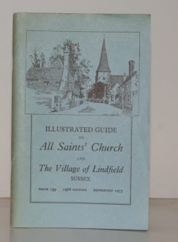
HALL, Helena
Illustrated Guide to All Saints’ Church and the Village of Lindfield, Sussex
Read more details -
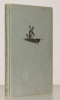
HARRISON, Wing Commander H.C.
The Story of Sprowston Mill
With Decorations and Diagrams by Graham R. Nisbet.
Read more details
Topography
England
Books are listed by county following the boundaries defined in the Local Government Act 1888. Islands are included in the nearest mainland county (eg. Cornwall & Isles of Scilly).
Ireland, Scotland, Wales.
Books are arranged by country.