-
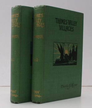
HARPER, Charles G.
Thames Valley Villages
Illustrated from Photographs by W.S. Campbell and from Drawings by by the Author.
Read more details -

-
-
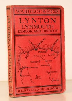
WARD LOCK RED GUIDE
A Pictorial and Descriptive Guide to Lynton, Lynmouth, Exmoor, Minehead and the Land of ‘Lorna Doone’. With Special Section for Motorists
Twelfth Edition, revised.
Read more details -
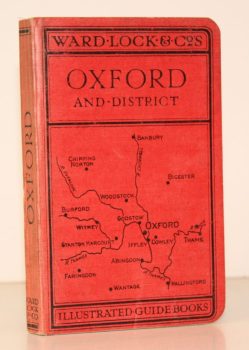
WARD LOCK RED GUIDE
A Pictorial and Descriptive Guide to Oxford and District. With Key Plans of the Colleges
Third Edition, revised.
Read more details -
-

BOON, George C
Isca. The Roman Legionary Fortress at Caerleon, Mon. [with] Isca. A Guide [with] Caerleon and the Roman Forts in Wales in the Second Century AD Part I: Caerleon and Northern Wales [with] Part 2: Southern Wales
[Forewords by G.O. Jones and D. Dilwyn John respectively.]
Read more details -

-

BAILEY, C.J.
The Bride Valley. The Story of the Past, with Photographs of the Present
Read more details -

LANG, Andrew
Highways and Byways in The Border
With Illustrations by Hugh Thomson.
Read more details -

WOODFORDE, Rev. James
The Diary of a Country Parson: the Reverend James Woodforde
Edited by John Beresford.
Read more details -

-
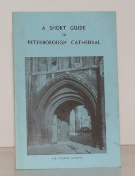
PETERBOROUGH CATHEDRAL
A Short Guide to Peterborough Cathedral
By the Rev. R.E. Sibthorp.
Read more details -

-
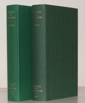
SALTER, Rev. Herbert Edward
Survey of Oxford. Volume I: North-East Ward; South-East Ward [with] Volume II: South-West Ward; North-West Ward; North Oxford. [Complete set.]
Edited by W.A. Pantin.
Read more details -
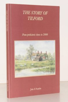
FRANKLIN, Captain John E.
The Story of Tilford from Prehistoric Times to 2000. A short History of a Surrey Village and its People
Read more details -
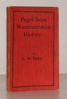
PARKER, C. B.
Pages from Worcestershire History
With a Preface by J.W. Willis-Bund.
Read more details -
PEVSNER, Nikolaus
The Buildings of England. London except the Cities of London and Westminster
[First Paperback Edition].
Read more details -
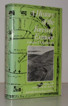
MACDERMOT, Edward T.
The History of the Forest of Exmoor
Revised Edition with Introduction by R.J. Sellick.
Read more details -
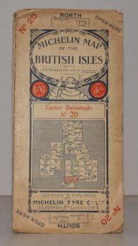
MICHELIN MAP EXETER - BARNSTAPLE
Michelin Map of the British Isles. No. 20. Exeter – Banstaple
[Scale 3.15 miles to an Inch.]
Read more details -
-
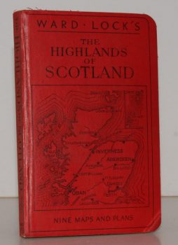
WARD LOCK RED GUIDE
Guide to the Highlands of Scotland, following the Principal Road, Railway and Steamer Routes, and indicating the Chief Tours from each Centre
Eleventh Edition.
Read more details -
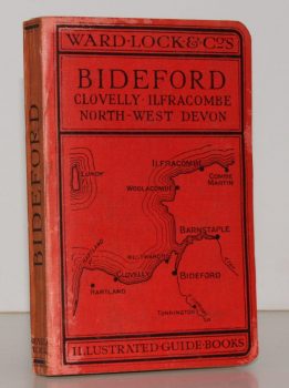
WARD LOCK RED GUIDE
A Pictorial and Descriptive Guide to Bideford, Clovelly, Hartland, Barnstaple, Ilfracombe and North-West Devon. Special Section for Motorists
Thirteenth Edition, revised.
Read more details -
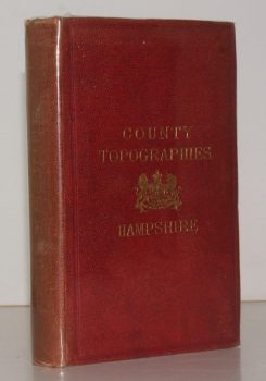
KELLY, ed., E. R.
County Topographies. Hampshire including the Isle of Wight. With Map engraved expressly for the Work
Read more details
Topography
England
Books are listed by county following the boundaries defined in the Local Government Act 1888. Islands are included in the nearest mainland county (eg. Cornwall & Isles of Scilly).
Ireland, Scotland, Wales.
Books are arranged by country.