-

-
-
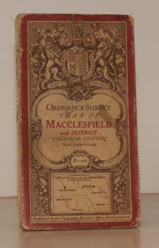
ORDNANCE SURVEY
Ordnance Survey One-Inch Map. Macclesfield and District.
Coloured Edition. Sheet 45. Scale: One Inch to to One Mile.
Read more details -

BROADWINDSOR
A Guide to the Parish Church of the Nativity of St. John the Baptist, Broadwindsor, Dorset
Read more details -
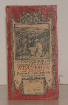
ORDNANCE SURVEY
Ordnance Survey Contoured Road Map of Winchester and District
Sheet 123. Popular Edition. Scale One Inch to One Mile.
Read more details -

-
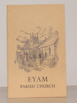
TURNER, Ernest M.
The Parish Church of St. Lawrence, Eyam. A Little Guide for Visitors
Read more details -
-
-
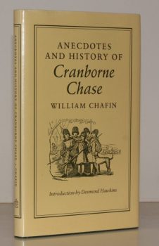
CHAFIN, William
Anecdotes and History of Cranborne Chase
Introduction by Desmond Hawkins. [Facsimile reissue.]
Read more details -
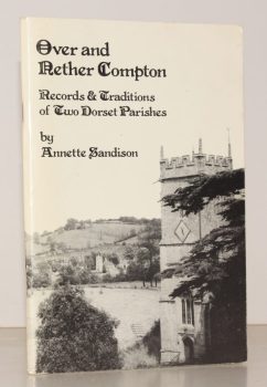
SANDISON, Annette
Over and Nether Compton. Records and Traditions of Two Dorset Parishes
Read more details -
-

BROOK, Roy
The Story of Huddersfield
With a Foreword by The Rt. Hon. Harold Wilson. Introduction by Alderman Jack Sykes.
Read more details -
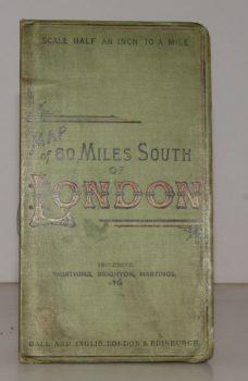
CYCLING & TOURING MAP 60 MILES SOUTH OF LONDON.
[Cycling and Touring] Map of 60 Miles South of London, including Worthing, Brighton, Hastings, etc.
Scale Half an Inch to a Mile.
Read more details -
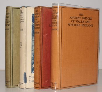
JERVOISE, Edwyn
The Ancient Bridges of England. The South of England [with] The North of England [with] Mid and Eastern England [with] Wales and Western England. [Complete set]
Read more details -
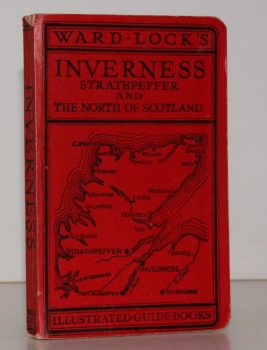
WARD LOCK RED GUIDE
Guide to Inverness, Strathpeffer, Nairn, Forres, Elgin and Northern Scotland
With Descriptions of the New Roads and a Special Section on 'Bird Life in Northern Scotland' by Seton Gordon.
Read more details -
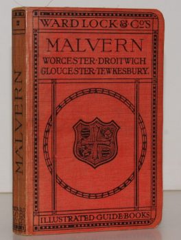
WARD LOCK RED GUIDE
A Pictorial and Descriptive Guide to Malvern and District, including Tewkesbury, Gloucester, Cheltenham, Worcester, Droitwich, Hereford etc.
Fourth Edition, revised.
Read more details -
HARRIS, L. E.
Vermuyden and the Fens. A Study of Sir Cornelius Vermuyden and the Great Level
Read more details -

FIRTH, J. B
Highways and Byways in Nottinghamshire
With Illustrations by Frederick L. Griggs.
Read more details -

BOND,, Henry
A History of the Trinity Hall Boat Club [1827-1928] [with] The Trinity Hall Boat Club 1928 to 1949 [with] A History of the Trinity Hall Boat Club and Club Records 1949/50 – 1986/87
[Prefaces by by Mr. Justice Maugham, Professor H.R. Dean and the Right Reverend Launcelot Fleming, respectively.]
Read more details -
-
-
-
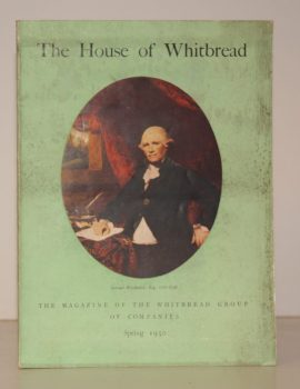
WHITBREAD GROUP OF COMPANIES
The House of Whitbread. The Magazine of the Whitbread Group of Companies. Coronation Number. Volume 13. Number 1
Read more details -
Topography
England
Books are listed by county following the boundaries defined in the Local Government Act 1888. Islands are included in the nearest mainland county (eg. Cornwall & Isles of Scilly).
Ireland, Scotland, Wales.
Books are arranged by country.