-
SHORTER, Clement K.
Highways and Byways in Buckinghamshire
With Illustrations by Frederick L. Griggs.
Read more details -
-
ORDNANCE SURVEY
Ordnance Survey One-Inch Map. Truro and St. Austell
Sheet 143. Fifth Edition. Scale: One Inch to to One Mile.
Read more details -
-
McCORMACK, John
Channel Islands Churches. A Study of the Medieval Churches and Chapels
Read more details -
LYME REGIS
Picture of Lyme-Regis and Environs
[Facsimile reissue. With Introduction by John Fowles.]
Read more details -
WARD LOCK RED GUIDE
A Pictorial and Descriptive Guide to Matlock, Dovedale, Chatsworth, Haddon Hall etc. Two District Maps and Map of Dovedale
Eleventh Edition - revised.
Read more details -

-
PLYMOUTH.
The Pageant of Plymouth Hoe. [18th-25th July 1953.]
Written by Crispin Gill. Produced by Cyril Penrose.
Read more details -
GREGORY, R. R. C.
The Story of Lee, being Records of the Ancient Parish of Lee and Parts of its immediate Neighbourhood, from Pre-Historic Times to the Present Day
Illustrated from old Prints, Photographs, and Special Drawings.
Read more details -
HOLY SEPULCHRE, WARMINGHURST
Guide to the Church of the Holy Sepulchre, Warminghurst
Read more details -
WARD LOCK RED GUIDE
A Pictorial and Descriptive Guide to Lyme Regis and the Dorset & Devon Borderland, including Seaton, Sidmouth, Axminster, Charmouth, Bridport, West Bay, Beaminster etc.
Seventh Edition, revised.
Read more details -
-

-
-
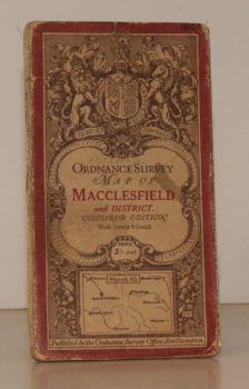
ORDNANCE SURVEY
Ordnance Survey One-Inch Map. Macclesfield and District.
Coloured Edition. Sheet 45. Scale: One Inch to to One Mile.
Read more details -

BROADWINDSOR
A Guide to the Parish Church of the Nativity of St. John the Baptist, Broadwindsor, Dorset
Read more details -
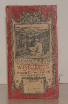
ORDNANCE SURVEY
Ordnance Survey Contoured Road Map of Winchester and District
Sheet 123. Popular Edition. Scale One Inch to One Mile.
Read more details -

-
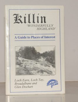
KILLIN
Killin. ‘Wonderfully Highland’. A Guide to Places of Interest. Loch Earn, Loch Tay, Breadalbane and Glen Dochart
Written and compiled by James Douglas.
Read more details -
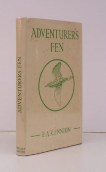
ENNION, E. A. R
Adventurers Fen
With a Foreword by Brian Vesey-Fitzgerald. [Revised and extensively enlarged edition].
Read more details -
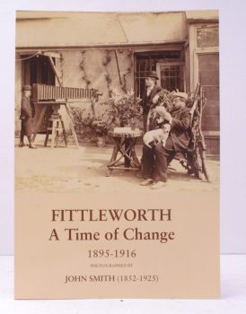
SMITH, John
Fittleworth. A Time of Change 1895-1918.
Photographed by John Smith (1852-1925). Based on his 'Notes for a History of Fittleworth' (made by him between 1895 and 1916). Compiled by his Great-niece Angela Brookfield and re-photographed by Kiki Claxton.
Read more details -
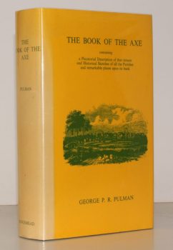
PULMAN, George P. R.
The Book of the Axe; containing a Piscatorial Description of that Stream and Historical Sketches of all the Parishes upon its Banks. [Facsimile re-issue.]
Read more details -
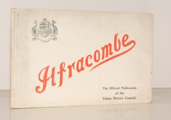
PENNELL, Maude
Ilfracombe
Published for the Urban District Council by the Health Resorts Association
Read more details
Topography
England
Books are listed by county following the boundaries defined in the Local Government Act 1888. Islands are included in the nearest mainland county (eg. Cornwall & Isles of Scilly).
Ireland, Scotland, Wales.
Books are arranged by country.