-

BARTON, ed., R. M.
Life in Cornwall. Early Nineteenth Century [with] Mid- Nineteenth Century [with] Late Nineteenth Century [with] End of Nineteenth Century. [Complete set.]
Being Extracts from the West Briton Newspaper. Selected and edited by R. M. Barton.
Read more details -
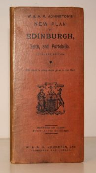
W & A K JOHNSTON
W & A K Johnstons’s New Plan of Edinburgh, Leith and Portobello [with Suburbs]. Coloured Edition. With Index to every Name given on the Plan
[Constructed from Ordnance and Private Surveys.]
Read more details -

CLUNN, Harold Philip
London Marches On. A Record of the Changes which have taken place in the Metropolis of the British Empire between the Two World Wars and much that is scheduled for Reconstruction
Read more details -
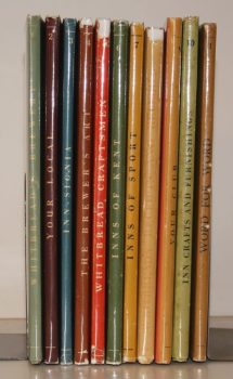
WHITBREAD and Co.
The Whitbread Library
[The set comprises 1: Whitbread's Brewery; 2: Your Local; 3: Inn-Signia; 4: The Brewer's Art; 5: Whitbread Craftsmen; 6: Inns of Kent; 7: Inns of Sport; 8: Receipts and Relishes; 9: Your Club; 10: Inn Crafts and Furnishings; 11: Word for Word.]
Read more details -

-
-
-
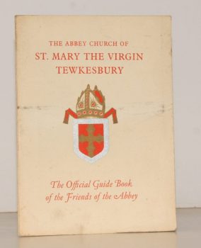
GOUGH, Lionel
A Short Guide to the Abbey Church of St. Mary the Virgin at Tewkesbury
Fourth Edition.
Read more details -

LORD LEYCESTER HOSPITAL.
[Guide to] The Hospital of Robert Earl of Leycester, Warwick
Read more details -
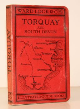
WARD LOCK RED GUIDE
A Pictorial and Descriptive Guide to Torquay, Paignton, Dartmouth, Kingsbridge, Totnes. Special Section for Motorists
Fourteenth Edition, revised.
Read more details -
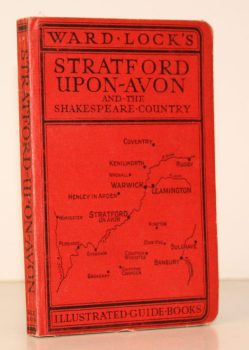
WARD LOCK RED GUIDE
Guide to Stratford-upon-Avon, Leamington, Warwick, Kenilworth and Shakespeare’s Warwickshire
Ninth Edition, revised.
Read more details -
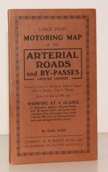
BACON'S ARTERIAL ROADS AROUND LONDON.
Large Print Motoring Map of the Arterial Roads and By-Passes around London, extending North to St. Albans, South to Epsom, East to Purfleet, West to Windsor. Scale of 1 Inch to 1.08 Miles
Showing at a glance arterial roads and by-passes built and under construction, first and second class roads with the Ministry of Transport numbers and mileage between towns.
Read more details -

LOWTHER, Anthony W. G.
The Roman Theatre at Verulamium (St. Albans). A Reconstruction
[Revised edition.]
Read more details -
-
-
-

MAWER, A.
The Place-Names of Sussex
With the Assistance of J.E.B. Gover. [English Place-Name Society, Vols. VI and VII].
Read more details -
-
-
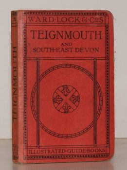
WARD LOCK RED GUIDE
A Pictorial and Descriptive Guide to Teignmouth and the South Devon Coast from the Axe to the Teign. With a Description of Exeter and its Cathedral
Eighth Ediion, revised.
Read more details -
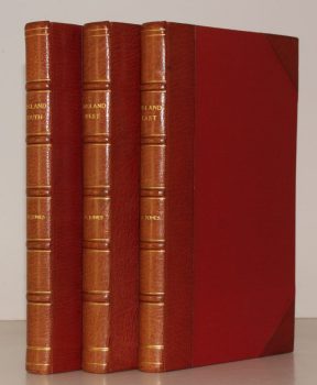
JONES, Sydney R.
England. England South [with] England West [with] England East. [Complete set.]
Read more details -
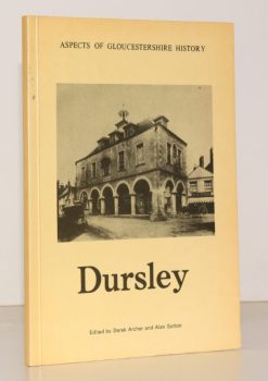
ARCHER, Derek
Articles, Notes and Photographs of Dursley. Volume One of Aspects of Gloucestershire History
Read more details -
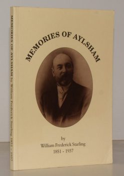
STARLING, William Frederick
Memories of Aylsham. The Memoirs of William Frederick Starling 1851-1937
Edited by Ron Peabody.
Read more details -
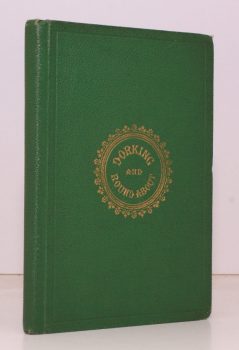
BRIGHT, J. S.
Dorking. A History of the Town, with a Description of the distinguished Residences, remarkable Places, Walks and Drives, and Literary Associations of the Neighbourhood
Read more details -
Topography
England
Books are listed by county following the boundaries defined in the Local Government Act 1888. Islands are included in the nearest mainland county (eg. Cornwall & Isles of Scilly).
Ireland, Scotland, Wales.
Books are arranged by country.