-
-
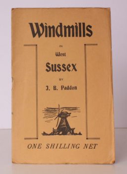
PADDON, J. B.
Windmills in West Sussex
A complete Account of every Windmill at present standing in West Sussex.
Read more details -
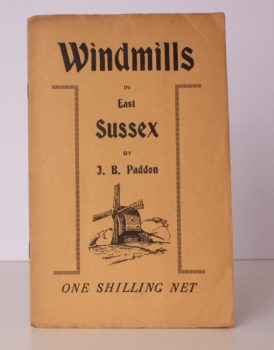
PADDON, J. B.
Windmills in East Sussex
A complete Account of every Windmill at present standing in East Sussex.
Read more details -
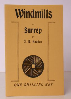
PADDON, J. B.
Windmills in Surrey
Being a Collection of Drawings and Lino-cuts illustrating those Windmills at present standing in the County.
Read more details -

PAGE, J.L.W.
The Coasts of Devon and Lundy Island
Their Towns, Villages, Scenery, Antiquities and Legends.
Read more details -

PAGE (ed.)], [Terry
Historic Buildings of West Sussex
Drawings by Gerald Lip. From the Series in the Evening Argus. [Edited by Terry Page].
Read more details -

-

-
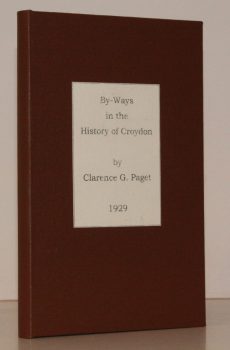
PAGET, Clarence G.
By-Ways in the History of Croydon
[Introduction by J.O. Pelton].
Read more details -
-

PAGHAM.
St. Thomas a Becket’s, Pagham
A Guide to the Church, Parish and Harbour. [New Edition].
Read more details -

PALMER, R.L.
English Monasteries in the Middle Ages
An Outline of Monastic Architecture and Custom from the Conquest to the Suppression.
Read more details -
-
-

-

PALMER, ed., Arnold
Recording Britain. [A Permanent Memorial of the Changing Face of Britain by 95 well-known Artists.]
[Edited, with Notes, by Arnold Palmer.]
Read more details -

PAM, David
A History of Enfield. [Comprising:] A Parish near London [with] A Victorian Suburb [with] A Desirable Place to Live [with] A Time of Change. [Complete set.]
Read more details -
-

PARISH, Charles
The History of the Literary and Philosophical Society of Newcastle upon Tyne
Volume II 1896-1989. [With Contributions by Others].
Read more details -

PARISH, ed., W.D.
Domesday Book in relation to the County of Sussex
Edited for the Sussex Archaeological Society by W.D. Parish.
Read more details -
-

-

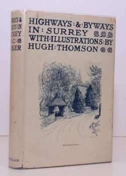
PARKER, Eric
Highways and Byways in Surrey
With Illustrations by Hugh Thomson. [Pocket Edition, Second Impression.]
Read more details -
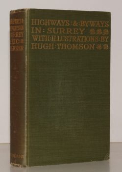
PARKER, Eric
Highways and Byways in Surrey
With Illustrations by Hugh Thomson. Second Edition.
Read more details -
Topography
England
Books are listed by county following the boundaries defined in the Local Government Act 1888. Islands are included in the nearest mainland county (eg. Cornwall & Isles of Scilly).
Ireland, Scotland, Wales.
Books are arranged by country.