-
RAWNSLEY, Willingham Franklin
Highways and Byways in Lincolnshire
With Illustrations by Frederick L. Griggs.
Read more details -

-
-
READ, D.H.M.
Highways and Byways in Hampshire
With Illustrations by Arthur B. Connor.
Read more details -

READ, D.H. Moutray
Highways and Byways in Hampshire
With Illustrations by Arthur B. Connor. [Pocket Edition].
Read more details -

-
-
-
REDFERN, Percy
The Story of the C.W.S
With three Diagrams illustrative of Economic History from 1860 to 1912 by G.H. Wood.
Read more details -
-

-
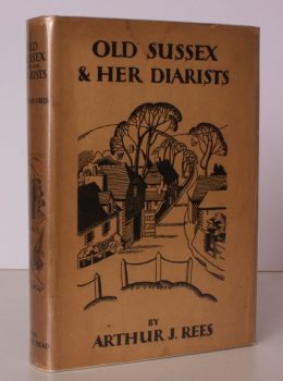
REES, Arthur J.
Old Sussex and her Diarists
With Sketches after the Originals by the Author.
Read more details -
REES, Arthur J.
Old Sussex and her Diarists
With Sketches after the Originals by the Author.
Read more details -
-
-
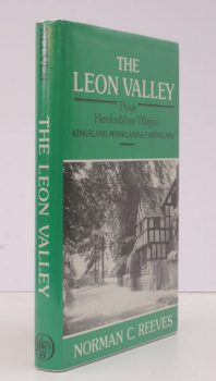
REEVES, N.C.
The Leon Valley
Three Herefordshire Villages. Kingsland, Monkland & Eardisland.
Read more details -

-

-
-
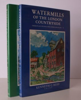
REID, Kenneth C
Watermills of the London Countryside
Their Place in English Landscape and Life. [Complete set.]
Read more details -
-
-
-
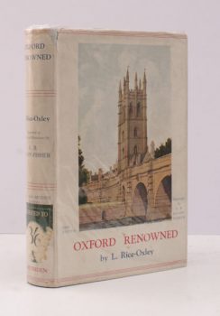
RICE-OXLEY, L.
Oxford Renowned
Illustrated in Colour and Monotone by A.B. Knapp-Fisher. [Second Edition].
Read more details -

Topography
England
Books are listed by county following the boundaries defined in the Local Government Act 1888. Islands are included in the nearest mainland county (eg. Cornwall & Isles of Scilly).
Ireland, Scotland, Wales.
Books are arranged by country.