-
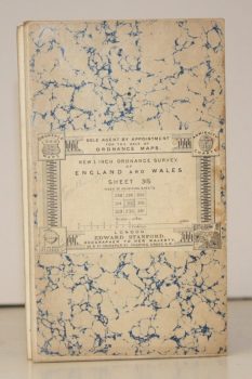
ORDNANCE SURVEY
New 1 Inch Ordnance Survey of England and Wales. Sheet 315 [Southampton]
[Third Series.]
Read more details -
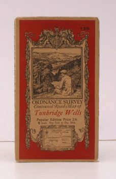
ORDNANCE SURVEY
Ordnance Survey Contoured Road Map of Tunbridge Wells
Sheet 125. Popular Edition. Scale: One Inch to One Mile.
Read more details -
-
-
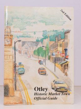
OTLEY
Official Guide to Otley
Issued by Authority of Otley Town Council. [Second Edition.]
Read more details -
-
-

OWEN, T.M.
Welsh Folk Customs [Second Edition]
elsh Folk Customs [Second Edition].
Read more details -
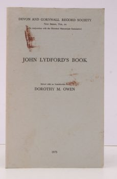
OWEN (ed.), Dorothy M.
[Devon and Cornwall Record Society
New Series, Vol. 20]. Historical Manuscripts Commission JP22. John Lydford's Book. Edited, with an Introduction by Dorothy M. Owen.
Read more details -
OXFORD HISTORICAL SOCIETY
Collectanea Fourth Series
[Vol. XLVII]. Edited by the Committee of the Society.
Read more details -
OXFORD UNIVERSITY
Parecbolae, sive Excerpta e Corpore Statutorum Universitatis Oxoniensis accedunt Articuli Religionis XXXIX in ecclesia anglicana recepti
Read more details -
-
-
-
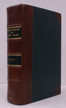
PAGE, J.L.W.
The Coasts of Devon and Lundy Island
Their Towns, Villages, Scenery, Antiquities and Legends.
Read more details -

PAGE (ed.)], [Terry
Historic Buildings of West Sussex
Drawings by Gerald Lip. From the Series in the Evening Argus. [Edited by Terry Page].
Read more details -

-

-
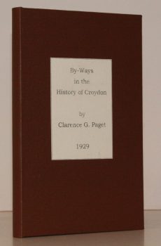
PAGET, Clarence G.
By-Ways in the History of Croydon
[Introduction by J.O. Pelton].
Read more details -
-
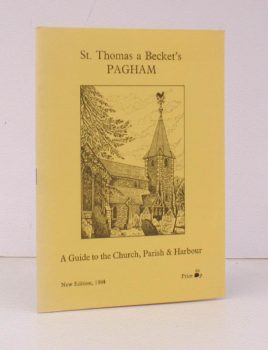
PAGHAM.
St. Thomas a Becket’s, Pagham
A Guide to the Church, Parish and Harbour. [New Edition].
Read more details -
-
-
-

Topography
England
Books are listed by county following the boundaries defined in the Local Government Act 1888. Islands are included in the nearest mainland county (eg. Cornwall & Isles of Scilly).
Ireland, Scotland, Wales.
Books are arranged by country.