-

-

PRESSEY, ed., W.J.
The Church Plate of the County of Essex
Described by G. Montagu Benton, F.W. Galpin and W.J. Pressey. Edited, with an Introduction, by the Rev. W.J. Pressey. With Illustrations from Photographs by the Rev. Canon F.W. Galpin. [Sole Edition.]
Read more details -
-

PRICE, John
An Historical and Topographical Account of Leominster, and it’s [sic] Vicinity
With an Appendix.
Read more details -

-

-

-
-

-

-
PULLAN, B.
A History of the University of Manchester 1951-73
History of the University of Manchester 1951-73.
Read more details -
-
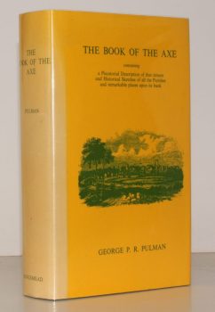
PULMAN, George P. R.
The Book of the Axe; containing a Piscatorial Description of that Stream and Historical Sketches of all the Parishes upon its Banks. [Facsimile re-issue.]
Read more details -
-

-

PYATT, Edward C
Chalkways of South and South-East England
Maps compiled by Gillian Pyatt.
Read more details -

-

QUENNELL, C.H.B.
Somerset
Shell Guide. [Edited by John Betjeman. First Faber edition],
Read more details -
-
-
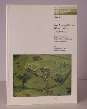
RAHTZ, Philip
An Anglo-Saxon Watermill at Tamworth
Excavations in the Bolebridge Street area of Tamworth, Staffordshire in 1971 and 1978.
Read more details -
-

-
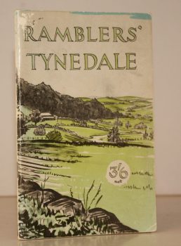
RAMBLERS ASSOCIATION
Ramblers Tynedale
Ten Walks in the South West of Northumberland around Tyne, North Tyne & South Tyne Dales. Ramblers Association. Northern Area.
Read more details -

RATCLIFFE, Dorothy Una
Dale Folk. Character Sketches in Prose and Verse
Illustrated by Fred Lawson.
Read more details
Topography
England
Books are listed by county following the boundaries defined in the Local Government Act 1888. Islands are included in the nearest mainland county (eg. Cornwall & Isles of Scilly).
Ireland, Scotland, Wales.
Books are arranged by country.