-

LOWTHER, Anthony W. G.
The Roman Theatre at Verulamium (St. Albans). A Reconstruction
[Revised edition.]
Read more details -
WANKLYN, Cyril
Lyme Regis. A Prospect
[Second and Best Edition. Revised and Enlarged.]
Read more details -

-
ORDNANCE SURVEY
Ordnance Survey Contoured Road Map of Norwich and Great Yarmouth
Sheet 67. Popular Edition. Scale One Inch to One Mile.
Read more details -

FIRTH, J. B.
Highways and Byways in Derbyshire
With Illustrations by Nelly Erichsen.
Read more details -
TURNER, Ernest M.
The Parish Church of St. Lawrence, Eyam. A Little Guide for Visitors
Read more details -
-
-
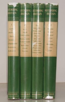
PALMER, ed., Arnold
Recording Britain. [A Permanent Memorial of the Changing Face of Britain by 95 well-known Artists.]
[Edited, with Notes, by Arnold Palmer.]
Read more details -
-
-
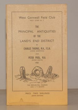
THOMAS, Charles
West Cornwall Field Club. Field Guide No. 2. The Principal Antiquities of the Land’s End District
Read more details -
-
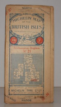
MICHELIN MAP SOUTHAMPTON - BRIGHTON
Michelin Map of the British Isles. No. 21. Southampton – Brighton
[Scale 3.15 miles to an Inch.]
Read more details -
-
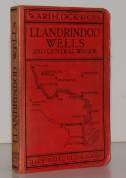
WARD LOCK RED GUIDE
A Pictorial and Descriptive Guide to Llandrindod Wells and the Wye Valley, including Builth Wells, Llanwrtyd Wells and Llangammarch Wells, Rhayader and the Birmingham Waterworks
With a Special Section for Motorists and Notes on Angling, etc. Ninth Edition.
Read more details -
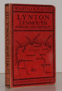
WARD LOCK RED GUIDE
A Pictorial and Descriptive Guide to Lynton, Lynmouth, Exmoor, Minehead and the Land of ‘Lorna Doone’. Special Section for Motorists
Twelfth Edition, revised.
Read more details -
-
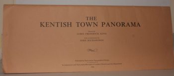
RICHARDSON, John
The Kentish Town Panorama. Drawn by James Frederick King. With a Commentary by John Richardson
Read more details -
-
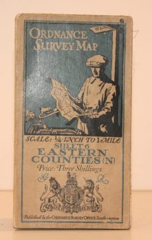
ORDNANCE SURVEY
Ordnance Survey One Quarter-Inch Map. Eastern Counties (N)
Sheet 6. [Third Edition.] Scale: One-Quarter Inch to to One Mile.
Read more details -
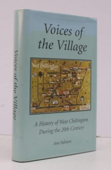
SALMON, Ann
Voices of the Village
A History of West Chiltington during the Twentieth Century.
Read more details -
-
-
Topography
England
Books are listed by county following the boundaries defined in the Local Government Act 1888. Islands are included in the nearest mainland county (eg. Cornwall & Isles of Scilly).
Ireland, Scotland, Wales.
Books are arranged by country.