-
PARKER, C. B.
Pages from Worcestershire History
With a Preface by J.W. Willis-Bund.
Read more details -
-
-
-
-
PATERSON, Daniel
A New and Accurate Description of the all the Direct and Principal Cross Roads in England and Wales
The Fourteenth Edition.
Read more details -
-

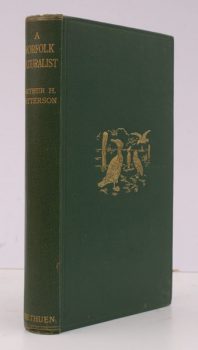
PATTERSON, Arthur H
Nature in Eastern Norfolk
With coloured Illustrations by Frank Southgate. Second Edition.
Read more details -
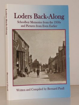
PAULL, Bernard
Loders Back-Along. Schoolboy Memories from the 1950s and Pictures from even Earlier
Read more details -

PAVING HAYMARKET 1697, Act of Parliament
An Act for Paving and Regulating the Hay-Market
in the Parishes of St. Martin in the Fields, and St. James, within the Liberty of Westminster
Read more details -
-
PEARCE, E.H.
The Monks of Westminster
Being a Register of the Brethren of the Convent from the Time of the Confessor to the Dissolution. With Lists of the Obedientiaries and an Introduction.
Read more details -

PEARCE, ed., Ernest Harold
The Register of Thomas de Cobham, Bishop of Worcester 1317-1327
Edited for the Worcestershire Historical Society.
Read more details -
-
-

-
-
-
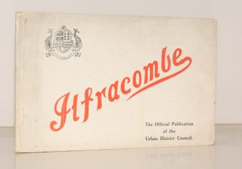
PENNELL, Maude
Ilfracombe
Published for the Urban District Council by the Health Resorts Association
Read more details -
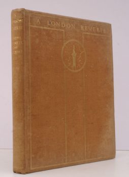
PENNELL (illus.), Joseph
A London Reverie
Fifty-Six Drawings by Joseph Pennell. Arranged with an Introductory Essay and Notes by J.C. Squire.
Read more details -
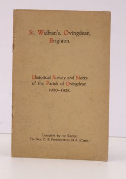
PENNINGTON, Rev. C. B.
St. Wulfran’s, Ovingdean, Brighton
Historical Survey and Notes of the Parish of Ovingdean, 1050-1928.
Read more details -
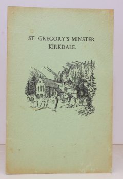
PENN], [Arthur
St. Gregory’s Minster, Kirkdale
Compiled by the Vicar and published by the Parochial Church Council. [Third Impression].
Read more details -

-
-
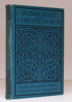
PERKINS, Rev. Thomas
Wimborne Minster and Christchurch Priory
A Short History of their Foundation and Description of their Buildings. [Third Edition.]
Read more details
Topography
England
Books are listed by county following the boundaries defined in the Local Government Act 1888. Islands are included in the nearest mainland county (eg. Cornwall & Isles of Scilly).
Ireland, Scotland, Wales.
Books are arranged by country.