-
ORDNANCE SURVEY
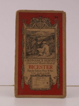
Ordnance Survey Contoured Road Map of Bicester
Sheet 94. Scale: One Inch to to One Mile.
Read more details -
ORDNANCE SURVEY
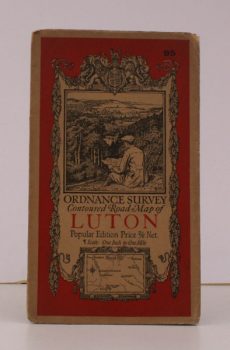
Ordnance Survey Contoured Road Map of Luton
Sheet 95. Scale: One Inch to to One Mile.
Read more details -
ORDNANCE SURVEY
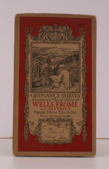
Ordnance Survey Contoured Road Map of Wells, Frome and District
Sheet 121. Scale: One Inch to to One Mile.
Read more details -
ORDNANCE SURVEY
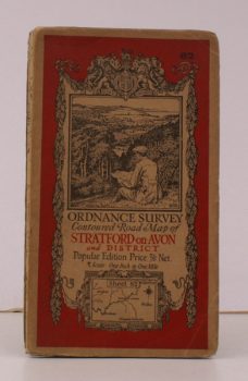
Ordnance Survey Contoured Road Map of Stratford-on-Avon and District
Sheet 82. Scale: One Inch to to One Mile.
Read more details -
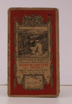
ORDNANCE SURVEY
Ordnance Survey Contoured Road Map of Northampton and District
Sheet 83. Scale: One Inch to to One Mile.
Read more details -
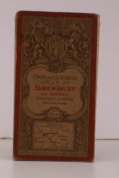
ORDNANCE SURVEY
Ordnance Survey Map of Shrewsbury and District
Sheet 61. Coloured Edition. Scale: One Inch to to One Mile.
Read more details -
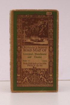
ORDNANCE SURVEY
Ordnance Survey Road Map of Liverpool, Manchester and Chester
Sheet 12. Layers. Scale: Half-Inch to One Mile.
Read more details -
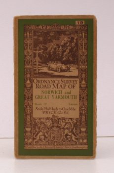
ORDNANCE SURVEY
Ordnance Survey Road Map of Norwich and Great Yarmouth
Sheet 19. Layers. Scale: Half-Inch to One Mile.
Read more details -
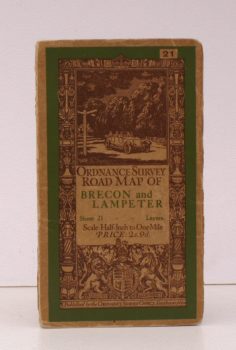
ORDNANCE SURVEY
Ordnance Survey Road Map of Brecon and Lampeter
Sheet 21. Layers. Scale: Half-Inch to One Mile.
Read more details -
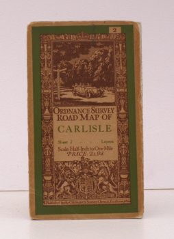
ORDNANCE SURVEY
Ordnance Survey Road Map of Carlisle
Sheet 2. Layers. Scale: Half-Inch to One Mile.
Read more details -
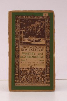
ORDNANCE SURVEY
Ordnance Survey Road Map of Whitby and Scarborough
Sheet 7. Layers. Scale: Half-Inch to One Mile.
Read more details -
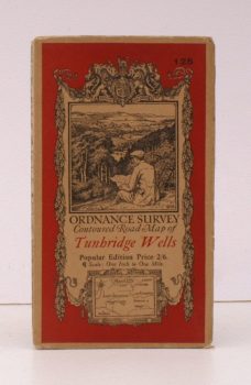
ORDNANCE SURVEY
Ordnance Survey Contoured Road Map of Tunbridge Wells
Sheet 125. Popular Edition. Scale: One Inch to One Mile.
Read more details -
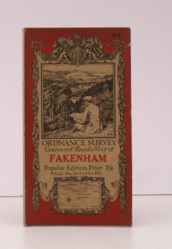
ORDNANCE SURVEY
Ordnance Survey Contoured Road Map of Fakenham
Sheet 57. Popular Edition. Scale: One Inch to One Mile.
Read more details -
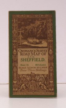
ORDNANCE SURVEY
Ordnance Survey Road Map of Sheffield
Sheet 13. Hill-Shaded. Scale: Half-Inch to One Mile.
Read more details -
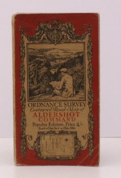
ORDNANCE SURVEY
Ordnance Survey Contoured Road Map of Aldershot Command
Popular Edition. Scale: One Inch to One Mile.
Read more details -
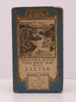
ORDNANCE SURVEY
Ordnance Survey ‘One-Inch’ Map. Fifth Edition. Exeter
Sheet 138. [Scale: One Inch to One Mile].
Read more details -
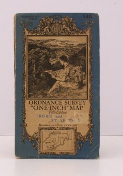
ORDNANCE SURVEY
Ordnance Survey ‘One-Inch’ Map. Fifth Edition. Truro and St. Austell
Sheet 143. [Scale: One Inch to One Mile].
Read more details -
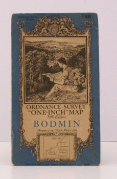
ORDNANCE SURVEY
Ordnance Survey ‘One-Inch’ Map. Fifth Edition. Bodmin
Sheet 136. [Scale: One Inch to One Mile].
Read more details -

ORDNANCE SURVEY
Wales and the Marches. Quarter Inch Map
[Quarter-Inch Fifth Series Special Sheet. Scale: Quarter-Inch to One Mile].
Read more details -
-
ORDNANCE SURVEY
Ordnance Survey. [Carlisle. Newcastle upon Tyne]
Sheet 1. Scale: Quarter Inch to One Mile.
Read more details -
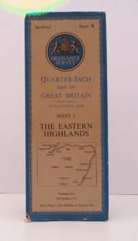
ORDNANCE SURVEY
Ordnance Survey.Quarter-Inch Map. The Eastern Highlands
Fourth Edition with National Grid. Sheet 5. [Scale: Quarter-Inch to One Mile].
Read more details -
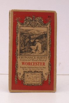
ORDNANCE SURVEY
Ordnance Survey Contoured Road Map of Worcester
Popular Edition. Sheet 81. Scale: One Inch to One Mile.
Read more details -
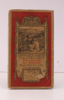
ORDNANCE SURVEY
Ordnance Survey Contoured Road Map of Reading and Newbury
Popular Edition. Sheet 113 Scale: One Inch to One Mile.
Read more details -
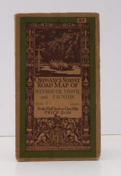
ORDNANCE SURVEY
Ordnance Survey Road Map of Weymouth, Yeovil and Taunton
Sheet 37. Layers. Scale 1/2 Inch to One Mile.
Read more details
Topography
England
Books are listed by county following the boundaries defined in the Local Government Act 1888. Islands are included in the nearest mainland county (eg. Cornwall & Isles of Scilly).
Ireland, Scotland, Wales.
Books are arranged by country.