-
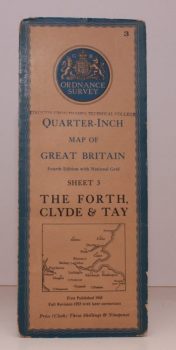
ORDNANCE SURVEY
Quarter-Inch Map of Great Britain. Sheet 3. The Forth, Clyde and Tay
Fourth Edition with National Grid. [Scale: Quarter-Inch to One Mile].
Read more details -
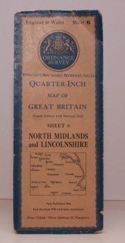
ORDNANCE SURVEY
Quarter-Inch Map of Great Britain. Sheet 6. North Midlands and Lincolnshire
Fourth Edition with National Grid. [Scale: Quarter-Inch to One Mile].
Read more details -
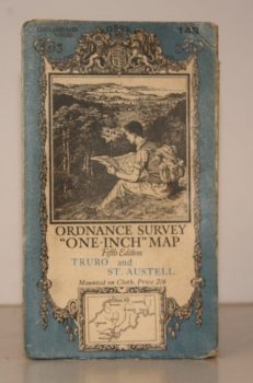
ORDNANCE SURVEY
Ordnance Survey One-Inch Map. Truro and St. Austell
Sheet 143. Fifth Edition. Scale: One Inch to to One Mile.
Read more details -
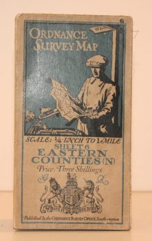
ORDNANCE SURVEY
Ordnance Survey One Quarter-Inch Map. Eastern Counties (N)
Sheet 6. [Third Edition.] Scale: One-Quarter Inch to to One Mile.
Read more details -
ORDNANCE SURVEY
Ordnance Survey One-Inch Map. Stratford-on-Avon and District
Popular Edition. Sheet 82. Scale: One Inch to to One Mile.
Read more details -
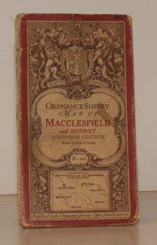
ORDNANCE SURVEY
Ordnance Survey One-Inch Map. Macclesfield and District.
Coloured Edition. Sheet 45. Scale: One Inch to to One Mile.
Read more details -
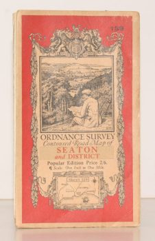
ORDNANCE SURVEY
Ordnance Survey Contoured Road Map of Seaton and District
Sheet 139. Popular Edition. Scale One Inch to One Mile
Read more details -
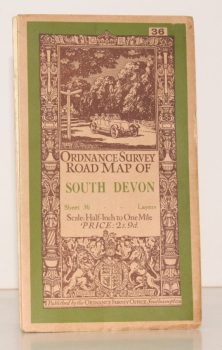
ORDNANCE SURVEY
Ordnance Survey Road Map of South Devon
Sheet 36. Layered Edition. Scale Half-Inch Inch to One Mile
Read more details -
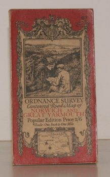
ORDNANCE SURVEY
Ordnance Survey Contoured Road Map of Norwich and Great Yarmouth
Sheet 67. Popular Edition. Scale One Inch to One Mile.
Read more details -
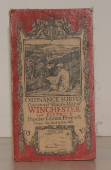
ORDNANCE SURVEY
Ordnance Survey Contoured Road Map of Winchester and District
Sheet 123. Popular Edition. Scale One Inch to One Mile.
Read more details -
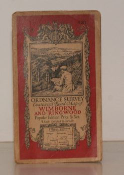
ORDNANCE SURVEY
Ordnance Survey Contoured Road Map of Wimborne and Ringwood
Sheet 131. Popular Edition. Scale One Inch to One Mile.
Read more details -
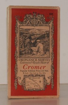
ORDNANCE SURVEY
Ordnance Survey Contoured Road Map of Cromer
Sheet 58. Popular Edition. Scale One Inch to One Mile.
Read more details -
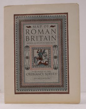
ORDNANCE SURVEY
Map of Roman Britain (Third Edition)
Scale: Sixteen Miles to One Inch.
Read more details -
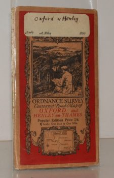
ORDNANCE SURVEY
Ordnance Survey Contoured Road Map of Oxford and Henley-on-Thames
Popular Edition. Sheet 105. Scale: One Inch to to One Mile.
Read more details -
-
-
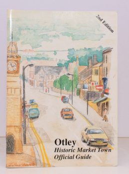
OTLEY
Official Guide to Otley
Issued by Authority of Otley Town Council. [Second Edition.]
Read more details -
-
-

OWEN, T.M.
Welsh Folk Customs [Second Edition]
elsh Folk Customs [Second Edition].
Read more details -
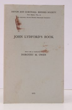
OWEN (ed.), Dorothy M.
[Devon and Cornwall Record Society
New Series, Vol. 20]. Historical Manuscripts Commission JP22. John Lydford's Book. Edited, with an Introduction by Dorothy M. Owen.
Read more details -
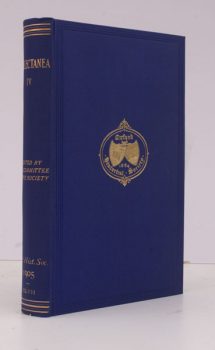
OXFORD HISTORICAL SOCIETY
Collectanea Fourth Series
[Vol. XLVII]. Edited by the Committee of the Society.
Read more details -
OXFORD UNIVERSITY
Parecbolae, sive Excerpta e Corpore Statutorum Universitatis Oxoniensis accedunt Articuli Religionis XXXIX in ecclesia anglicana recepti
Read more details -
-
Topography
England
Books are listed by county following the boundaries defined in the Local Government Act 1888. Islands are included in the nearest mainland county (eg. Cornwall & Isles of Scilly).
Ireland, Scotland, Wales.
Books are arranged by country.