-
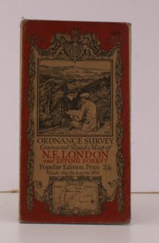
ORDNANCE SURVEY
Ordnance Survey Contoured Road Map of N.E. London and Epping Forest
Sheet 107. Popular Edition. Scale: One Inch to to One Mile.
Read more details -
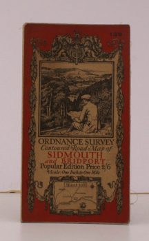
ORDNANCE SURVEY
Ordnance Survey Contoured Road Map of Sidmouth and Bridport
Sheet 139. Popular Edition. Scale: One Inch to to One Mile.
Read more details -
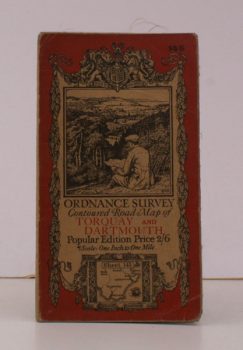
ORDNANCE SURVEY
Ordnance Survey Contoured Road Map of Torquay and Dartmouth
Sheet 145. Popular Edition. Scale: One Inch to to One Mile.
Read more details -
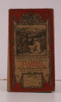
ORDNANCE SURVEY
Ordnance Survey Contoured Road Map of Reading and Newbury
Sheet 113. Popular Edition. Scale: One Inch to to One Mile.
Read more details -
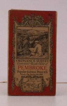
ORDNANCE SURVEY
Ordnance Survey Contoured Road Map of Pembroke and Tenby
Sheet 99. Popular Edition. Scale: One Inch to to One Mile.
Read more details -
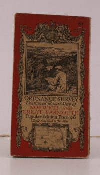
ORDNANCE SURVEY
Ordnance Survey Contoured Road Map of Norwich and Great Yarmouth
Sheet 67. Popular Edition. Scale: One Inch to to One Mile.
Read more details -
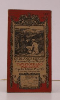
ORDNANCE SURVEY
Ordnance Survey Contoured Road Map of Tavistock and Dartmoor
Sheet 137. Popular Edition. Scale: One Inch to to One Mile.
Read more details -
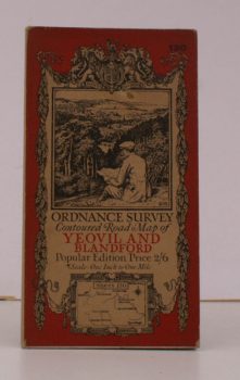
ORDNANCE SURVEY
Ordnance Survey Contoured Road Map of Yeovil and Blandford
Sheet 130. Popular Edition. Scale: One Inch to to One Mile.
Read more details -
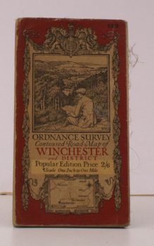
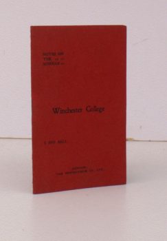
ORDNANCE SURVEY
Ordnance Survey Contoured Road Map of Winchester and District
Sheet 123. Popular Edition. Scale: One Inch to to One Mile.
Read more details -
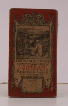
ORDNANCE SURVEY
Ordnance Survey Contoured Road Map of Oxford and Henley-on-Thames
Sheet 105. Popular Edition. Scale: One Inch to to One Mile.
Read more details -
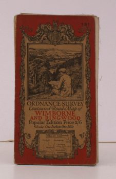
ORDNANCE SURVEY
Ordnance Survey Contoured Road Map of Wimborne and Ringwood
Sheet 131 . Popular Edition. Scale: One Inch to to One Mile.
Read more details -
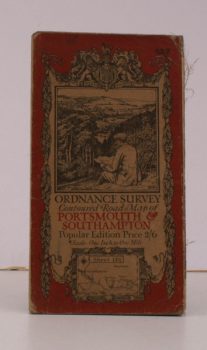
ORDNANCE SURVEY
Ordnance Survey Contoured Road Map of Portsmouth and Southampton
Sheet 132. Popular Edition. Scale: One Inch to to One Mile.
Read more details -
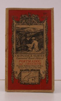
ORDNANCE SURVEY
Ordnance Survey Contoured Road Map of Portmadoc and Criccieth
Sheet 49. Scale: One Inch to to One Mile.
Read more details -

GINGELL, P. J.
The History of Wootton Bassett
'A Very Ancient Mayor Towne'. [Third Impression].
Read more details -
-
-
-
-
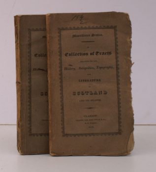
MISCELLANEA SCOTICA
Miscellanea Scotica.
A Collection of Tracts relating to the History, Antiquities, Topography and Literature of Scotland and its Islands. [2 vols of 4]
Read more details -
-
-
-

-

-

Topography
England
Books are listed by county following the boundaries defined in the Local Government Act 1888. Islands are included in the nearest mainland county (eg. Cornwall & Isles of Scilly).
Ireland, Scotland, Wales.
Books are arranged by country.