-
-
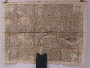
BACON, G.W.
Bacon’s New Map of Central London
Divided into Half Mile Squares and Circles. Scale: Four Inches to the Mile.
Read more details -
-
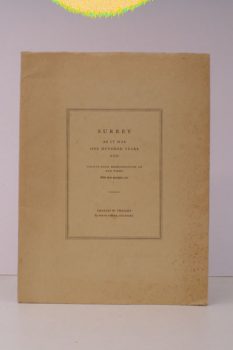
SURREY
Surrey as it was One Hundred Years Ago
Twenty-Four Reproductions of Old Views. With short descriptive Text.
Read more details -
SUSSEX ARCHAEOLOGICAL SOCIETY
Sussex Archaeological Collections relating to the History and Antiquities of the County
Relating to the History and Antiquities of the County.
Read more details -
-
WALLIS, [James or Edward]
Brighton as it is, 1834
Exhibiting all the latest Improvements in that fashionable Watering Place. Wallis's Royal Edition, patronized by the Queen.
Read more details -
-
ARMSTRONG, Anthony
England our England
A Vague and Unauthenticated Gudie to some English Towns. With Drawings by Treyer Evans.
Read more details -
-
CLUNN, Harold
Famous South Coast Pleasure Resorts Past and Present
Their historical Associations, their Rise to Fame and a Forecast of their future Development.
Read more details -
-
-
-
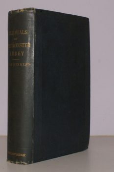
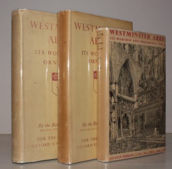
STANLEY, Arthur Penrhyn
Historical Memorials of Westminster Abbey
Fifth Edition, with the Author's final Revisions.
Read more details -
-
-
-
-

-

-
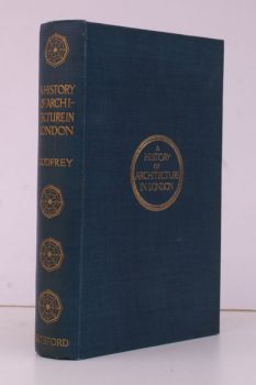
GODFREY, W. H.
A History of Architecture in London
Arranged to illustrate the Course of Architecture in England until 1800, with a Sketch of the preceding European Styles. With a Preface by Philip Norman.
Read more details -
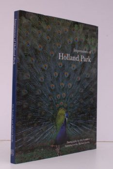
IVERSLEIN, Gry
Impressions of Holland Park
Photography by Gry Iverslein. Introduction by Michael Jacobs.
Read more details -
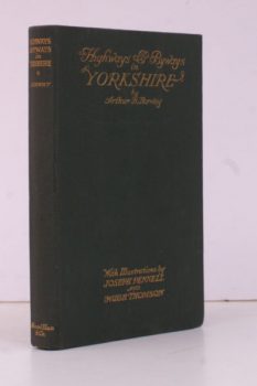
NORWAY, Arthur H.
Highways and Byways in Yorkshire
With Illustrations by Joseph Pennell and Hugh Thomson.
Read more details -
Topography
England
Books are listed by county following the boundaries defined in the Local Government Act 1888. Islands are included in the nearest mainland county (eg. Cornwall & Isles of Scilly).
Ireland, Scotland, Wales.
Books are arranged by country.