-

ORDNANCE SURVEY
Wales and the Marches. Quarter Inch Map
[Quarter-Inch Fifth Series Special Sheet. Scale: Quarter-Inch to One Mile].
Read more details -
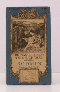
ORDNANCE SURVEY
Ordnance Survey ‘One-Inch’ Map. Fifth Edition. Bodmin
Sheet 136. [Scale: One Inch to One Mile].
Read more details -
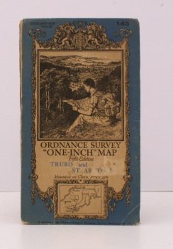
ORDNANCE SURVEY
Ordnance Survey ‘One-Inch’ Map. Fifth Edition. Truro and St. Austell
Sheet 143. [Scale: One Inch to One Mile].
Read more details -
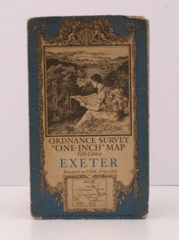
ORDNANCE SURVEY
Ordnance Survey ‘One-Inch’ Map. Fifth Edition. Exeter
Sheet 138. [Scale: One Inch to One Mile].
Read more details -
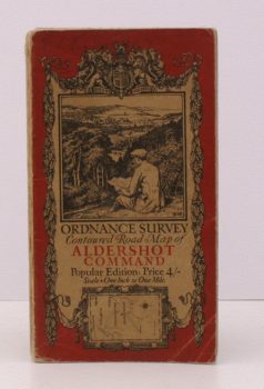
ORDNANCE SURVEY
Ordnance Survey Contoured Road Map of Aldershot Command
Popular Edition. Scale: One Inch to One Mile.
Read more details -
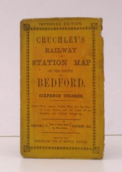
G.F.CRUCHLEY
Cruchley’s Railway and Station Map of the County of Bedford
Improved Edition. Sixpence Coloured. [Scale line: 4 inches to 7 miles].
Read more details -
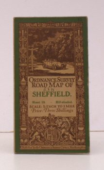
ORDNANCE SURVEY
Ordnance Survey Road Map of Sheffield
Sheet 13. Hill-Shaded. Scale: Half-Inch to One Mile.
Read more details -
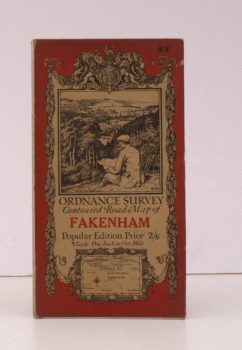
ORDNANCE SURVEY
Ordnance Survey Contoured Road Map of Fakenham
Sheet 57. Popular Edition. Scale: One Inch to One Mile.
Read more details -
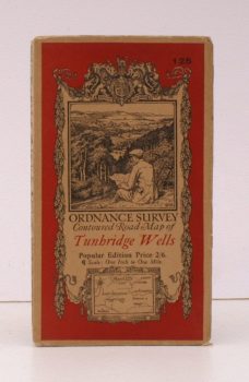
ORDNANCE SURVEY
Ordnance Survey Contoured Road Map of Tunbridge Wells
Sheet 125. Popular Edition. Scale: One Inch to One Mile.
Read more details -

-

-
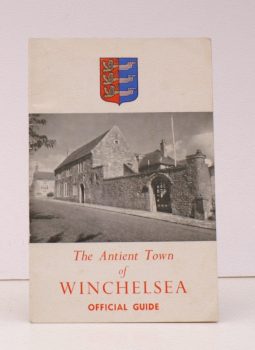
LOVEGROVE, H.
The Official Guide to the Antient Town of Winchelsea
Photographs by A.W. Bulley. [Fifth Edition].
Read more details -
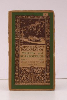
ORDNANCE SURVEY
Ordnance Survey Road Map of Whitby and Scarborough
Sheet 7. Layers. Scale: Half-Inch to One Mile.
Read more details -
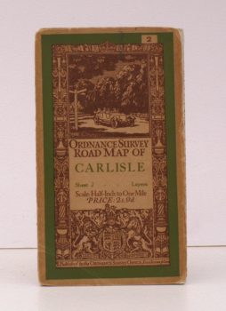
ORDNANCE SURVEY
Ordnance Survey Road Map of Carlisle
Sheet 2. Layers. Scale: Half-Inch to One Mile.
Read more details -
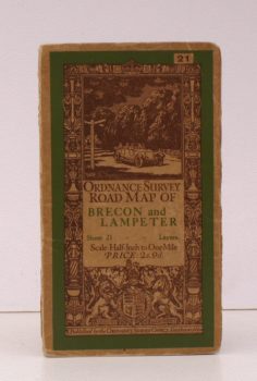
ORDNANCE SURVEY
Ordnance Survey Road Map of Brecon and Lampeter
Sheet 21. Layers. Scale: Half-Inch to One Mile.
Read more details -
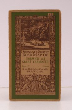
ORDNANCE SURVEY
Ordnance Survey Road Map of Norwich and Great Yarmouth
Sheet 19. Layers. Scale: Half-Inch to One Mile.
Read more details -
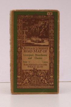
ORDNANCE SURVEY
Ordnance Survey Road Map of Liverpool, Manchester and Chester
Sheet 12. Layers. Scale: Half-Inch to One Mile.
Read more details -
WHEELER, R.E. Mortimer
Maiden Castle, Dorset
Reports of the Research Committee of the Society of Antiquaries. No. XII
Read more details -
-

MAXWELL, Gordon S.
Highwayman’s Heath
The Story in Fact and Fiction of Hounslow Heath in Middlesex. With a Foreword by Sir Montagu Sharpe. [Illustrated by Donald Maxwell].
Read more details -
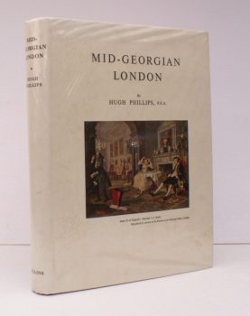
PHILLIPS, Hugh
Mid-Georgian London
A Topographical and Social Survey of Central and Western London about 1750.
Read more details -
-
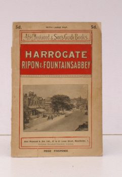
HEYWOOD, Abel
Harrogate, Ripon and Fountains Abbey
[Motoring, Cycling, Walking and Driving Routes].
Read more details -
-
Topography
England
Books are listed by county following the boundaries defined in the Local Government Act 1888. Islands are included in the nearest mainland county (eg. Cornwall & Isles of Scilly).
Ireland, Scotland, Wales.
Books are arranged by country.