-

-

-
-

-

QUENNELL, C.H.B.
Somerset
Shell Guide. [Edited by John Betjeman. First Faber edition],
Read more details -

-
WATERS, Ivor
Inns and Taverns of the Chepstow District
Illustrated by T.T. Birbeck.
Read more details -
-
-
-
-
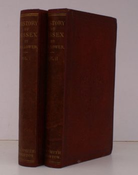
LOWER, Mark Antony
A Compendious History of Sussex
Topographical, Archaeological & Anecdotical. Contianing an Index to the first Twenty Volumes of the 'Sussex Archaeological Collections'.
Read more details -
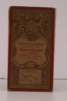
ORDNANCE SURVEY
Ordnance Survey Map of Shrewsbury and District
Sheet 61. Coloured Edition. Scale: One Inch to to One Mile.
Read more details -
-
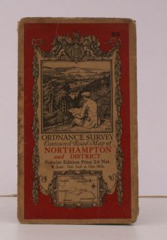
ORDNANCE SURVEY
Ordnance Survey Contoured Road Map of Northampton and District
Sheet 83. Scale: One Inch to to One Mile.
Read more details -
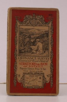
ORDNANCE SURVEY
Ordnance Survey Contoured Road Map of Stratford-on-Avon and District
Sheet 82. Scale: One Inch to to One Mile.
Read more details -
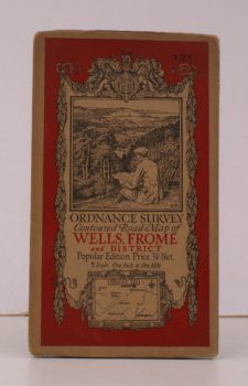
ORDNANCE SURVEY
Ordnance Survey Contoured Road Map of Wells, Frome and District
Sheet 121. Scale: One Inch to to One Mile.
Read more details -
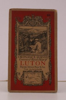
ORDNANCE SURVEY
Ordnance Survey Contoured Road Map of Luton
Sheet 95. Scale: One Inch to to One Mile.
Read more details -
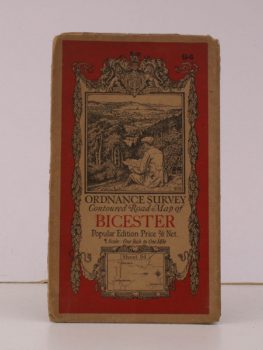
ORDNANCE SURVEY
Ordnance Survey Contoured Road Map of Bicester
Sheet 94. Scale: One Inch to to One Mile.
Read more details -
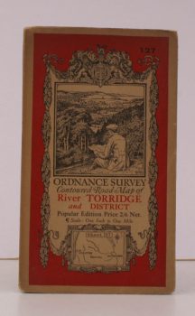
ORDNANCE SURVEY
Ordnance Survey Contoured Road Map of River Torridge and District
Sheet 127. Scale: One Inch to to One Mile.
Read more details -
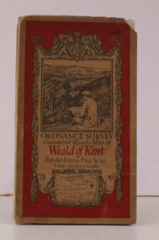
ORDNANCE SURVEY
Ordnance Survey Contoured Road Map of Weald of Kent
Sheet 126. Scale: One Inch to to One Mile.
Read more details -
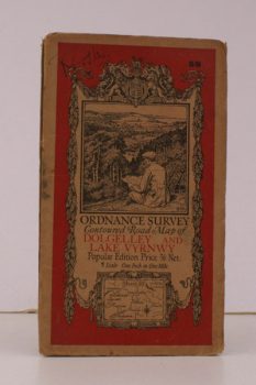
ORDNANCE SURVEY
Ordnance Survey Contoured Road Map of Dolgelley and Lake Vwynwy
Sheet 59. Scale: One Inch to to One Mile.
Read more details -
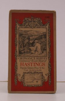
ORDNANCE SURVEY
Ordnance Survey Contoured Road Map of Hastings
Sheet 135. Scale: One Inch to to One Mile.
Read more details -
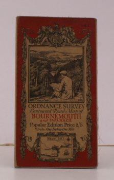
ORDNANCE SURVEY
Ordnance Survey Contoured Road Map of Bournemouth and Swanage
Sheet 141. Scale: One Inch to to One Mile.
Read more details -
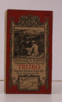
ORDNANCE SURVEY
Ordnance Survey Contoured Road Map of Truro and St. Austell
Sheet 143. Popular Edition. Scale: One Inch to to One Mile.
Read more details
Topography
England
Books are listed by county following the boundaries defined in the Local Government Act 1888. Islands are included in the nearest mainland county (eg. Cornwall & Isles of Scilly).
Ireland, Scotland, Wales.
Books are arranged by country.