-
-
BEVAN, G. Phillips
Handbook to the County of Kent
Containing full Information concerning all its favourite Places of Resort, both on the Coast and Inland. Sixth Edition.
Read more details -

-

-

-

HAWLEY (ed.), C.D.
List of Antiquities in the Administrative County of Surrey
With a General Introduction and Photographic Illustrations. Presented by the Records and Ancient Monuments Committee. Fourth Edition.
Read more details -
MURRAY'S HAND-BOOK.
Handbook for Travellers in Kent
Fourth Edition. With Maps and Plans.
Read more details -
NICHOLLS, Rev. H.G.
Nicholls’s Forest of Dean
An Historical and Descriptive Account [with] Iron Making in the Olden Times. [New Edition, With an Introduction by Cyril Hart].
Read more details -
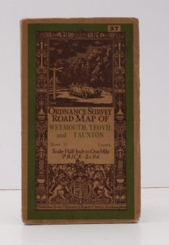
ORDNANCE SURVEY
Ordnance Survey Road Map of Weymouth, Yeovil and Taunton
Sheet 37. Layers. Scale 1/2 Inch to One Mile.
Read more details -
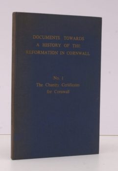
SNELL, L. S.
Documents towards a History of the Reformation in Cornwall
No. 1: The Chantry Certificates for Cornwall. Transcribed with an Introduction.
Read more details -

MACLEOD, Fiona
The Winged Destiny
Studies in the Spiritual History of the Gael. [Uniform Edition, Vol. V].
Read more details -

-
-
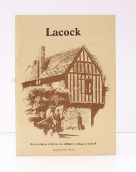
MURRAY, ed., Peter
[Lacock]. A Village in Wiltshire
A Collection of Memories, Records and Photographs that gives a Picture of Life in the Village of Lacock during the First Half of the 20th Century.
Read more details -
-

-

-

-
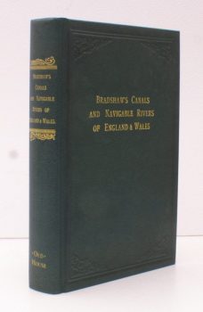
DE SALIS, Henry Rodolph
Bradshaw’s Canals and Navigable Rivers of England and Wales
A Handbook of Inland Navigation for Manufacturers, Merchants, Traders and Others. Compiled, after a Personal Survey of the Whole of the Waterways, by Henry Rodolph de Salis. [Facsimile reissue].
Read more details -
-
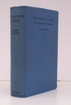
WILKIE, James
Bygone Fife from Culross to St. Andrews
Traditions, Legends, Folklore and Local History of 'The Kingdom'.
Read more details -
-
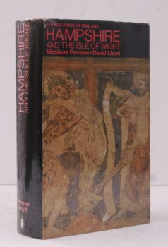
PEVSNER, Nikolaus
The Buildings of England. Hampshire and the Isle of Wight
[Second Impression].
Read more details -
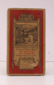
ORDNANCE SURVEY
Ordnance Survey Contoured Road Map of Reading and Newbury
Popular Edition. Sheet 113 Scale: One Inch to One Mile.
Read more details -
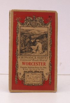
ORDNANCE SURVEY
Ordnance Survey Contoured Road Map of Worcester
Popular Edition. Sheet 81. Scale: One Inch to One Mile.
Read more details
Topography
England
Books are listed by county following the boundaries defined in the Local Government Act 1888. Islands are included in the nearest mainland county (eg. Cornwall & Isles of Scilly).
Ireland, Scotland, Wales.
Books are arranged by country.