-
COX, J. Charles
How to write the History of a Parish. An Outline Guide to Topographical Records, Manuscripts and Books
Fifth Edition, revised.
Read more details -
HAWORTH PARISH CHURCH
A Guide to Haworth Parish Church, including its Associations with William Grimshaw and the Brontes
Read more details -

FRANCIS, Mervyn D.
The Booklet of Arundel Castle and Town
Photographic Illustrations by W.B. Allison.
Read more details -
WARD LOCK RED GUIDE
A Picturesque and Descriptive Guide to South Cornwall, including Falmouth, The Lizard, Truro, St. Austell, Fowey, Looe, Bodmin etc
Tenth Edition, revised.
Read more details -
ARCHER, Derek
Articles, Notes and Photographs of Dursley. Volume One of Aspects of Gloucestershire History
Read more details -
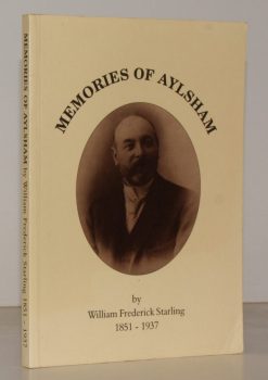
STARLING, William Frederick
Memories of Aylsham. The Memoirs of William Frederick Starling 1851-1937
Edited by Ron Peabody.
Read more details -
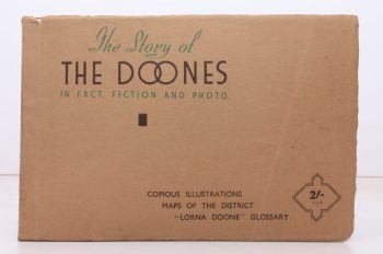
THORNYCROFT, L. B.
The Story of the Doones in Fact, Fiction and Photo
[Second Edition.]
Read more details -
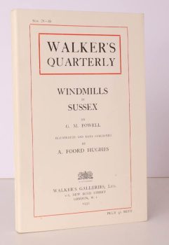
FOWELL, G. M.
Windmills in Sussex
Illustrated and Data collected by A. Foord Hughes.
Read more details -
-
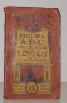
LONDON.
Philips’ ABC Pocket Atlas-Guide to London and its Outer Districts with Postal Areas.
Sixteenth and Enlarged Edition.
Read more details -
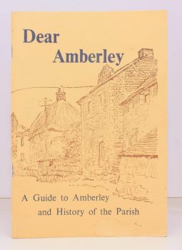
STAINES, Rev. E. Noel
Dear Amberley. A Guide to Amberley and History of the Parish
Read more details -
-
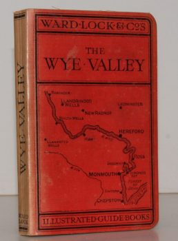
WARD LOCK RED GUIDE
A Pictorial and Descriptive Guide to the Wye Valley, including Llandrindod Wells and the Spas of Central Wales. Special Sections for Motorists and Anglers
Tenth Edition, revised.
Read more details -
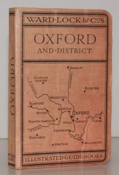
WARD LOCK RED GUIDE
A Pictorial and Descriptive Guide to Oxford and District
Third Edition.
Read more details -
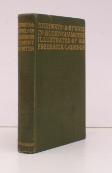
SHORTER, Clement K.
Highways and Byways in Buckinghamshire
With Illustrations by Frederick L. Griggs.
Read more details -
-
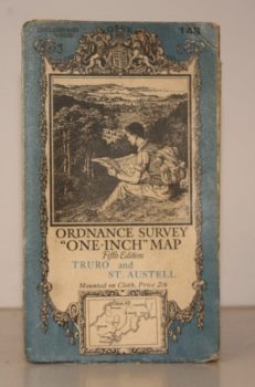
ORDNANCE SURVEY
Ordnance Survey One-Inch Map. Truro and St. Austell
Sheet 143. Fifth Edition. Scale: One Inch to to One Mile.
Read more details -
-
-

WHITBREAD GROUP OF COMPANIES
The House of Whitbread. The Magazine of the Whitbread Group of Companies. Spring 1950. Volume 10. Number 1
Read more details -
-
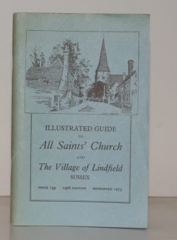
HALL, Helena
Illustrated Guide to All Saints’ Church and the Village of Lindfield, Sussex
Read more details -
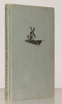
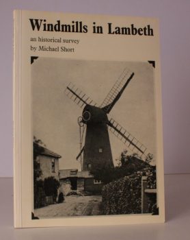
HARRISON, Wing Commander H.C.
The Story of Sprowston Mill
With Decorations and Diagrams by Graham R. Nisbet.
Read more details -

WILTSHIRE NOTES AND QUERIES.
Wiltshire Notes and Queries. An Illustrated Quarterly Antiquarian and Genealogical Magazine. Volumes 1-8 inclusive
Read more details -
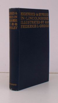
RAWNSLEY, Willingham Franklin
Highways and Byways in Lincolnshire
With Illustrations by Frederick L. Griggs.
Read more details
Topography
England
Books are listed by county following the boundaries defined in the Local Government Act 1888. Islands are included in the nearest mainland county (eg. Cornwall & Isles of Scilly).
Ireland, Scotland, Wales.
Books are arranged by country.