-
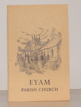
TURNER, Ernest M.
The Parish Church of St. Lawrence, Eyam. A Little Guide for Visitors
Read more details -
-
-

PULMAN, George P. R.
The Book of the Axe; containing a Piscatorial Description of that Stream and Historical Sketches of all the Parishes upon its Banks. [Facsimile re-issue.]
Read more details -
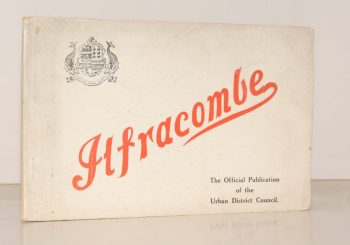
PENNELL, Maude
Ilfracombe
Published for the Urban District Council by the Health Resorts Association
Read more details -
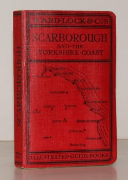
WARD LOCK RED GUIDE
Guide to Scarborough and the Yorkshire Coast, including Robin Hood’s Bay, Whitby, Filey, Flamborough and Bridlington
Eleventh Edition, revised.
Read more details -
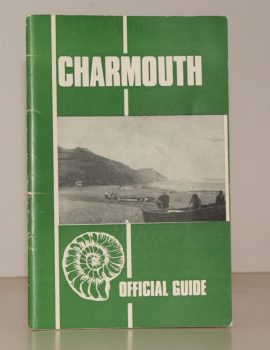
CHARMOUTH
Charmouth. The Official Guide. Published by the Charmouth Parish Council
Photographs by M.R. Davis. Text by E. Long.
Read more details -
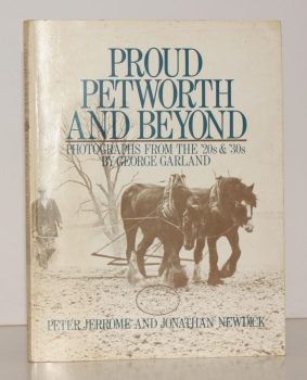
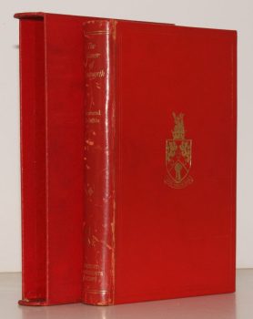
JERROME, Peter
Proud Petworth and Beyond. Photographs from the ’20s and ’30s by George Garland
Read more details -
-
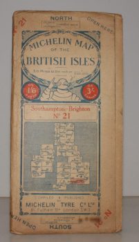
MICHELIN MAP SOUTHAMPTON - BRIGHTON
Michelin Map of the British Isles. No. 21. Southampton – Brighton
[Scale 3.15 miles to an Inch.]
Read more details -
-
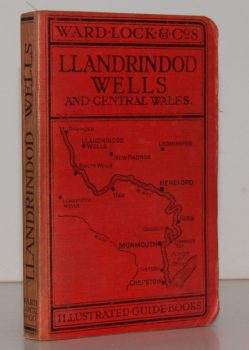
WARD LOCK RED GUIDE
A Pictorial and Descriptive Guide to Llandrindod Wells and the Wye Valley, including Builth Wells, Llanwrtyd Wells and Llangammarch Wells, Rhayader and the Birmingham Waterworks
With a Special Section for Motorists and Notes on Angling, etc. Ninth Edition.
Read more details -
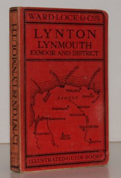
WARD LOCK RED GUIDE
A Pictorial and Descriptive Guide to Lynton, Lynmouth, Exmoor, Minehead and the Land of ‘Lorna Doone’. Special Section for Motorists
Twelfth Edition, revised.
Read more details -
-
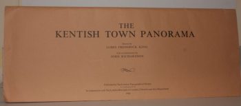
RICHARDSON, John
The Kentish Town Panorama. Drawn by James Frederick King. With a Commentary by John Richardson
Read more details -
-
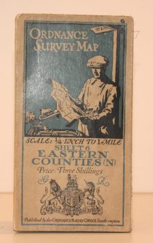
ORDNANCE SURVEY
Ordnance Survey One Quarter-Inch Map. Eastern Counties (N)
Sheet 6. [Third Edition.] Scale: One-Quarter Inch to to One Mile.
Read more details -
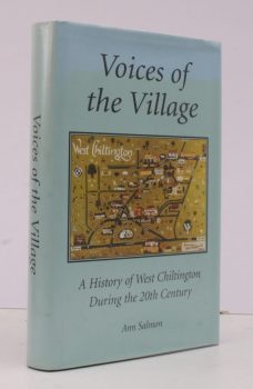
SALMON, Ann
Voices of the Village
A History of West Chiltington during the Twentieth Century.
Read more details -
-
-
-

SCOTT, Martin
The Restoration of Windmills and Windpumps in Norfolk
Research and Text by Martin Scott. Book Design and Drawings by Mel Harris.
Read more details -

[WEST SUSSEX], Act of Parliament
An Act for Exchanging parts of the Settled Estates of Charles Duke of Norfolk for Fee Simple Estates of Charles Goring [of Wiston Park]
Read more details -
-
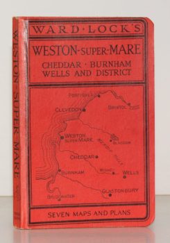
WARD LOCK RED GUIDE
Guide to Weston-Super-Mare, Clevedon, Burnham, the Mendips, Cheddar, Wells, Glastonbury etc.
Ninth Edition. Special Section for Motorists.
Read more details
Topography
England
Books are listed by county following the boundaries defined in the Local Government Act 1888. Islands are included in the nearest mainland county (eg. Cornwall & Isles of Scilly).
Ireland, Scotland, Wales.
Books are arranged by country.