-
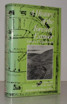
MACDERMOT, Edward T.
The History of the Forest of Exmoor
Revised Edition with Introduction by R.J. Sellick.
Read more details -
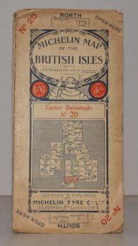
MICHELIN MAP EXETER - BARNSTAPLE
Michelin Map of the British Isles. No. 20. Exeter – Banstaple
[Scale 3.15 miles to an Inch.]
Read more details -
-
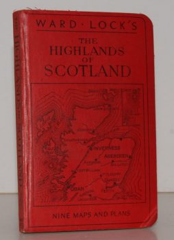
WARD LOCK RED GUIDE
Guide to the Highlands of Scotland, following the Principal Road, Railway and Steamer Routes, and indicating the Chief Tours from each Centre
Eleventh Edition.
Read more details -
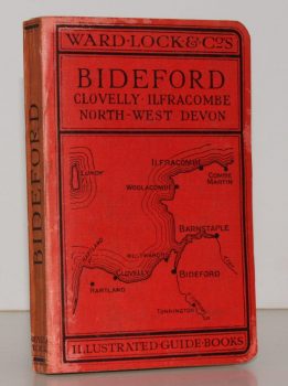
WARD LOCK RED GUIDE
A Pictorial and Descriptive Guide to Bideford, Clovelly, Hartland, Barnstaple, Ilfracombe and North-West Devon. Special Section for Motorists
Thirteenth Edition, revised.
Read more details -
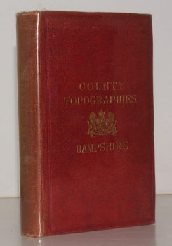
KELLY, ed., E. R.
County Topographies. Hampshire including the Isle of Wight. With Map engraved expressly for the Work
Read more details -
-

-

WHITBREAD, Josiah
Whitbread’s Map of London extending Four Miles round Charing Cross
Read more details -

DALLAS], [Miss Mary
Our Journal at Winterbourn St. Martins
With Notes by Jo Draper.
Read more details -

-
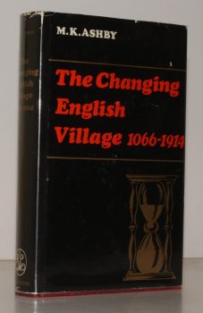
ASHBY, M K
The Changing English Village. A History of Bledington, Gloucestershire in its Setting, 1066-1914
Read more details -

GRIEVE, Hilda
The Sleepers and the Shadows, Chelmsford: a Town, its People and its Past. [Complete set.]
Maps and Plans drawn by John Fulbeck.
Read more details -

PITT-RIVERS, Michael
Dorset
A Shell Guide. Incorporating Notes by Andrew Wordsworth. [Third Edition].
Read more details -
-

HOLY TRINITY CHURCH, STRATFORD-UPON-AVON.
[Guide to] The Collegiate Church of the Holy Trinity, Stratford-upon-Avon
Read more details -
WARD LOCK RED GUIDE
A Pictorial and Descriptive Guide to Lyme Regis and the Dorset & Devon Borderland, including Seaton, Sidmouth, Axminster, Charmouth, Bridport, West Bay, Beaminster etc.
Seventh Edition, revised.
Read more details -

-
-
-

-
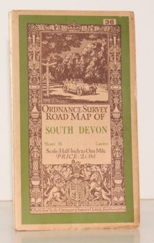
ORDNANCE SURVEY
Ordnance Survey Road Map of South Devon
Sheet 36. Layered Edition. Scale Half-Inch Inch to One Mile
Read more details -
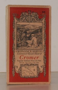
ORDNANCE SURVEY
Ordnance Survey Contoured Road Map of Cromer
Sheet 58. Popular Edition. Scale One Inch to One Mile.
Read more details -

MARGARY, Ivan D.
Roman Ways in the Weald
With a Foreword by O.G.S. Crawford. [Third, revised, edition.]
Read more details
Topography
England
Books are listed by county following the boundaries defined in the Local Government Act 1888. Islands are included in the nearest mainland county (eg. Cornwall & Isles of Scilly).
Ireland, Scotland, Wales.
Books are arranged by country.