-
-
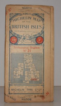
MICHELIN MAP SOUTHAMPTON - BRIGHTON
Michelin Map of the British Isles. No. 21. Southampton – Brighton
[Scale 3.15 miles to an Inch.]
Read more details -
-
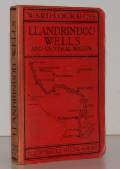
WARD LOCK RED GUIDE
A Pictorial and Descriptive Guide to Llandrindod Wells and the Wye Valley, including Builth Wells, Llanwrtyd Wells and Llangammarch Wells, Rhayader and the Birmingham Waterworks
With a Special Section for Motorists and Notes on Angling, etc. Ninth Edition.
Read more details -
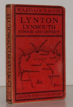
WARD LOCK RED GUIDE
A Pictorial and Descriptive Guide to Lynton, Lynmouth, Exmoor, Minehead and the Land of ‘Lorna Doone’. Special Section for Motorists
Twelfth Edition, revised.
Read more details -
-
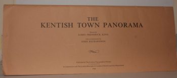
RICHARDSON, John
The Kentish Town Panorama. Drawn by James Frederick King. With a Commentary by John Richardson
Read more details -
-
-
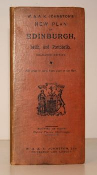
W & A K JOHNSTON
W & A K Johnstons’s New Plan of Edinburgh, Leith and Portobello [with Suburbs]. Coloured Edition. With Index to every Name given on the Plan
[Constructed from Ordnance and Private Surveys.]
Read more details -

CLUNN, Harold Philip
London Marches On. A Record of the Changes which have taken place in the Metropolis of the British Empire between the Two World Wars and much that is scheduled for Reconstruction
Read more details -

WHITBREAD and Co.
The Whitbread Library
[The set comprises 1: Whitbread's Brewery; 2: Your Local; 3: Inn-Signia; 4: The Brewer's Art; 5: Whitbread Craftsmen; 6: Inns of Kent; 7: Inns of Sport; 8: Receipts and Relishes; 9: Your Club; 10: Inn Crafts and Furnishings; 11: Word for Word.]
Read more details -

-
-

-

GOUGH, Lionel
A Short Guide to the Abbey Church of St. Mary the Virgin at Tewkesbury
Fourth Edition.
Read more details -

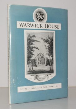
LORD LEYCESTER HOSPITAL.
[Guide to] The Hospital of Robert Earl of Leycester, Warwick
Read more details -
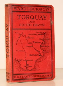
WARD LOCK RED GUIDE
A Pictorial and Descriptive Guide to Torquay, Paignton, Dartmouth, Kingsbridge, Totnes. Special Section for Motorists
Fourteenth Edition, revised.
Read more details -
-

-

-
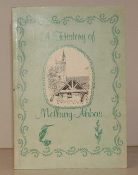
MELBURY ABBAS
A History of Melbury Abbas
Compiled by Members of the Melbury Abbas and Cann Womens Institute.
Read more details -
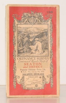
ORDNANCE SURVEY
Ordnance Survey Contoured Road Map of Seaton and District
Sheet 139. Popular Edition. Scale One Inch to One Mile
Read more details -
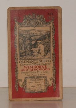
ORDNANCE SURVEY
Ordnance Survey Contoured Road Map of Wimborne and Ringwood
Sheet 131. Popular Edition. Scale One Inch to One Mile.
Read more details -
Topography
England
Books are listed by county following the boundaries defined in the Local Government Act 1888. Islands are included in the nearest mainland county (eg. Cornwall & Isles of Scilly).
Ireland, Scotland, Wales.
Books are arranged by country.