-
-
-
-
-
-
-

-
-
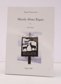
GARNE, D.
Mainly about Rogate
A Collection of Articles from The Rogate & Terwick News 1992-2008.
Read more details -
-

GOVER, J.E.B.
The Place-Names of Northamptonshire
[English Place-Name Society, Vol.
Read more details -
-
-
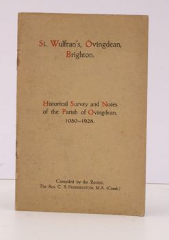
PENNINGTON, Rev. C. B.
St. Wulfran’s, Ovingdean, Brighton
Historical Survey and Notes of the Parish of Ovingdean, 1050-1928.
Read more details -
-
-

-
-

GROOM, J.B.
A Maidstone Naturalist’s Rambles during the ‘Year of Rain’ from March 1903 to March 1904
Read more details -
BRAND], [John
A Brief Description of Orkney, Zetland, Pightland-Firth and Caithness, wherein after a Short Journal of the Author’s Voyage thither, these Northern Places are first more generally more described
Read more details -
-
-
-
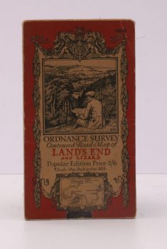
ORDNANCE SURVEY
Ordnance Survey Contoured Road Map of Land’s End and Lizard
Popular Edition. One Inch. Sheet 146. [Ellis Martin cover].
Read more details -
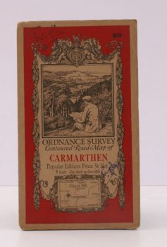
ORDNANCE SURVEY
Ordnance Survey Contoured Road Map of Carmarthen
Popular Edition. One Inch. Sheet 89. [Ellis Martin cover].
Read more details
Topography
England
Books are listed by county following the boundaries defined in the Local Government Act 1888. Islands are included in the nearest mainland county (eg. Cornwall & Isles of Scilly).
Ireland, Scotland, Wales.
Books are arranged by country.