-
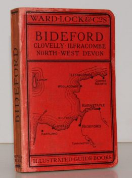
WARD LOCK RED GUIDE
A Pictorial and Descriptive Guide to Bideford, Clovelly, Hartland, Barnstaple, Ilfracombe and North-West Devon. Special Section for Motorists
Thirteenth Edition, revised.
Read more details -
KELLY, ed., E. R.
County Topographies. Hampshire including the Isle of Wight. With Map engraved expressly for the Work
Read more details -
W & A K JOHNSTON
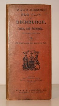
W & A K Johnstons’s New Plan of Edinburgh, Leith and Portobello [with Suburbs]. Coloured Edition. With Index to every Name given on the Plan
[Constructed from Ordnance and Private Surveys.]
Read more details -
CLUNN, Harold Philip
London Marches On. A Record of the Changes which have taken place in the Metropolis of the British Empire between the Two World Wars and much that is scheduled for Reconstruction
Read more details -
WHITBREAD and Co.
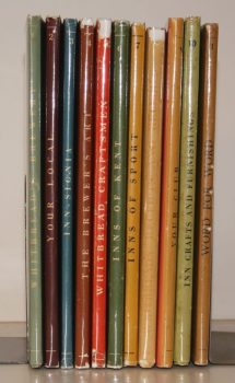
The Whitbread Library
[The set comprises 1: Whitbread's Brewery; 2: Your Local; 3: Inn-Signia; 4: The Brewer's Art; 5: Whitbread Craftsmen; 6: Inns of Kent; 7: Inns of Sport; 8: Receipts and Relishes; 9: Your Club; 10: Inn Crafts and Furnishings; 11: Word for Word.]
Read more details -
GOUGH, Lionel
A Short Guide to the Abbey Church of St. Mary the Virgin at Tewkesbury
Fourth Edition.
Read more details -
LORD LEYCESTER HOSPITAL.
[Guide to] The Hospital of Robert Earl of Leycester, Warwick
Read more details -
WARD LOCK RED GUIDE
A Pictorial and Descriptive Guide to Torquay, Paignton, Dartmouth, Kingsbridge, Totnes. Special Section for Motorists
Fourteenth Edition, revised.
Read more details -
WARD LOCK RED GUIDE
A Pictorial and Descriptive Guide to Edinburgh and its Environs
Eighth Edition, revised.
Read more details -
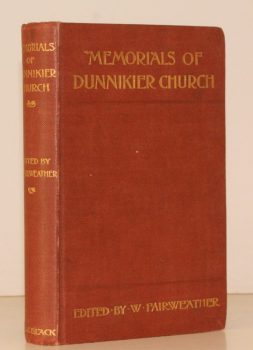
FAIRWEATHER, ed., Rev. William
Memorials of Dunnikier Church Kirkaldy. With a Historical Introduction
Read more details -
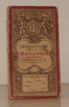
ORDNANCE SURVEY
Ordnance Survey One-Inch Map. Macclesfield and District.
Coloured Edition. Sheet 45. Scale: One Inch to to One Mile.
Read more details -
BROADWINDSOR
A Guide to the Parish Church of the Nativity of St. John the Baptist, Broadwindsor, Dorset
Read more details -
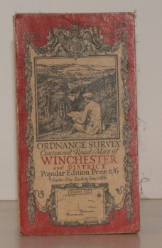
ORDNANCE SURVEY
Ordnance Survey Contoured Road Map of Winchester and District
Sheet 123. Popular Edition. Scale One Inch to One Mile.
Read more details -
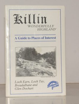
KILLIN
Killin. ‘Wonderfully Highland’. A Guide to Places of Interest. Loch Earn, Loch Tay, Breadalbane and Glen Dochart
Written and compiled by James Douglas.
Read more details -
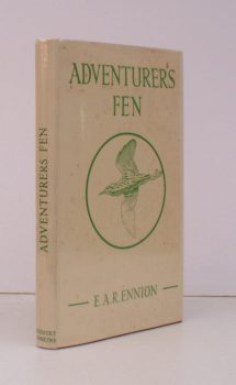
ENNION, E. A. R
Adventurers Fen
With a Foreword by Brian Vesey-Fitzgerald. [Revised and extensively enlarged edition].
Read more details -
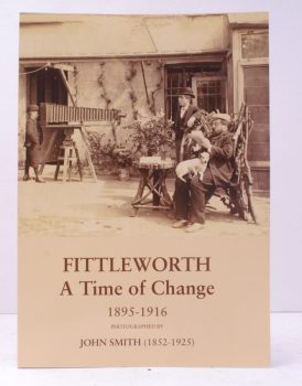
SMITH, John
Fittleworth. A Time of Change 1895-1918.
Photographed by John Smith (1852-1925). Based on his 'Notes for a History of Fittleworth' (made by him between 1895 and 1916). Compiled by his Great-niece Angela Brookfield and re-photographed by Kiki Claxton.
Read more details -
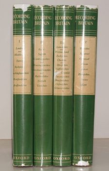
PALMER, ed., Arnold
Recording Britain. [A Permanent Memorial of the Changing Face of Britain by 95 well-known Artists.]
[Edited, with Notes, by Arnold Palmer.]
Read more details
Topography
England
Books are listed by county following the boundaries defined in the Local Government Act 1888. Islands are included in the nearest mainland county (eg. Cornwall & Isles of Scilly).
Ireland, Scotland, Wales.
Books are arranged by country.
