-
TAYLOR, Mary
This was Rustington. [No. 1. What we have lost [with] No. 2. The Early Years. Complete set.]
Read more details -
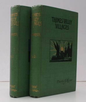
HARPER, Charles G.
Thames Valley Villages
Illustrated from Photographs by W.S. Campbell and from Drawings by by the Author.
Read more details -
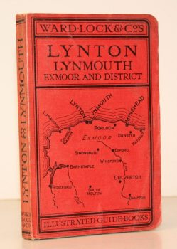
WARD LOCK RED GUIDE
A Pictorial and Descriptive Guide to Lynton, Lynmouth, Exmoor, Minehead and the Land of ‘Lorna Doone’. With Special Section for Motorists
Twelfth Edition, revised.
Read more details -
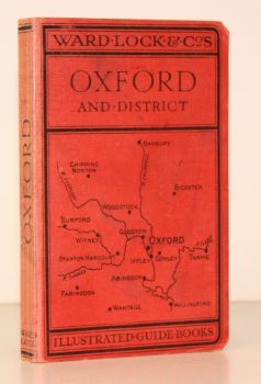
WARD LOCK RED GUIDE
A Pictorial and Descriptive Guide to Oxford and District. With Key Plans of the Colleges
Third Edition, revised.
Read more details -
HOPTON, F. C.
Corruption and Reform: Municipal Government in the Borough of Shaftesbury 1750-1835
Read more details -
WINBOLT, Samuel Edward
Roman Folkestone. A Record of Excavation of Roman Villas at East Wear Bay, with Speculations and Historical Sketches on Related Subjects
Read more details -
VEREY, David
Mid Wales. The Counties of Brecon, Radnor and Montgomery. A Shell Guide
Read more details -
BENHAM, Hervey
Some Essex Water Mills
Drawings by James and Andrew Dodds. [Second Edition.]
Read more details -
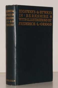
VINCENT, James Edmund
Highways and Byways in Berkshire
With Illustrations by Frederick L. Griggs.
Read more details -
CHANCELLOR, E. Beresford
London’s Old Latin Quarter. Being an Account of Tottenham Court Road and its immediate Surroundings
Read more details -
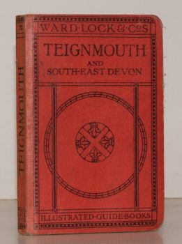
WARD LOCK RED GUIDE
A Pictorial and Descriptive Guide to Teignmouth and the South Devon Coast from the Axe to the Teign. With a Description of Exeter and its Cathedral
Eighth Ediion, revised.
Read more details -
JONES, Sydney R.
England. England South [with] England West [with] England East. [Complete set.]
Read more details -
WITHAM, John A.
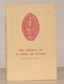
The Church of St. Mary of Ottery in the Country of Devon. A Short History and Guide
[Fifth Edition.]
Read more details -
BARTON, ed., R. M.
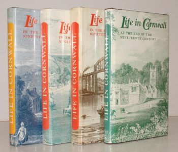
Life in Cornwall. Early Nineteenth Century [with] Mid- Nineteenth Century [with] Late Nineteenth Century [with] End of Nineteenth Century. [Complete set.]
Being Extracts from the West Briton Newspaper. Selected and edited by R. M. Barton.
Read more details -
WARD LOCK RED GUIDE
Guide to Bideford, Clovelly, Westward Ho!, Barnstaple, Ilfracombe and North-West Devon
Special Section for Motorists. Fifteenth Edition.
Read more details -
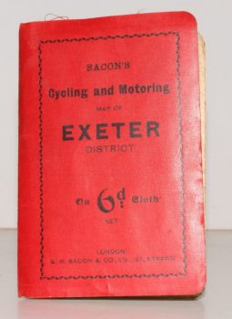
CYCLING & MOTORING MAP OF EXETER DISTRICT
Bacon’s Cycling and Motoring Map of Exeter District[Cycling and Touring] Map of 60 Miles South of London, including Worthing, Brighton, Hastings, etc.
Scale Half an Inch to One Mile.
Read more details
Topography
England
Books are listed by county following the boundaries defined in the Local Government Act 1888. Islands are included in the nearest mainland county (eg. Cornwall & Isles of Scilly).
Ireland, Scotland, Wales.
Books are arranged by country.
