-
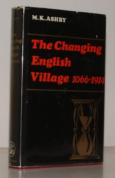
ASHBY, M K
The Changing English Village. A History of Bledington, Gloucestershire in its Setting, 1066-1914
Read more details -
GRIEVE, Hilda
The Sleepers and the Shadows, Chelmsford: a Town, its People and its Past. [Complete set.]
Maps and Plans drawn by John Fulbeck.
Read more details -
PITT-RIVERS, Michael
Dorset
A Shell Guide. Incorporating Notes by Andrew Wordsworth. [Third Edition].
Read more details -
HOLY TRINITY CHURCH, STRATFORD-UPON-AVON.
[Guide to] The Collegiate Church of the Holy Trinity, Stratford-upon-Avon
Read more details -
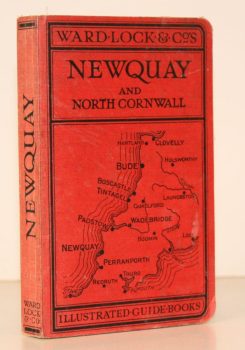
WARD LOCK RED GUIDE
A Pictorial and Descriptive Guide to Newquay, Perranporth and North Cornwall, including Tintagel, Padstow, Bude etc. Special Section for Motorists
Eleventh Edition, revised.
Read more details -
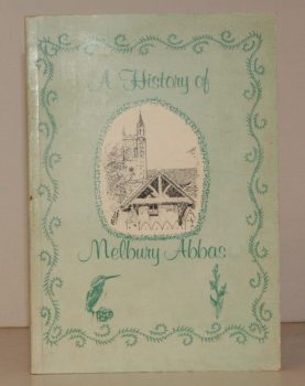
MELBURY ABBAS
A History of Melbury Abbas
Compiled by Members of the Melbury Abbas and Cann Womens Institute.
Read more details -
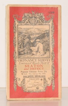
ORDNANCE SURVEY
Ordnance Survey Contoured Road Map of Seaton and District
Sheet 139. Popular Edition. Scale One Inch to One Mile
Read more details -
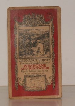
ORDNANCE SURVEY
Ordnance Survey Contoured Road Map of Wimborne and Ringwood
Sheet 131. Popular Edition. Scale One Inch to One Mile.
Read more details -
SALTER, Rev. Herbert Edward
Medieval Oxford. [The Ford Lectures for 1935.]
[Facsimile reissue.]
Read more details -
FRANKLIN, Captain John E.
The Story of Tilford from Prehistoric Times to 2000. A short History of a Surrey Village and its People
Read more details -
PARKER, C. B.
Pages from Worcestershire History
With a Preface by J.W. Willis-Bund.
Read more details -
PEVSNER, Nikolaus
The Buildings of England. London except the Cities of London and Westminster
[First Paperback Edition].
Read more details -
FREESE, Stanley
The Watermills of Buckinghamshire. A 1930s Account by Stanley Freese with original Photographs
Edited by Michael Farley, Edward Legg and James Venn with a Contribution by Martin Watts.
Read more details -
VEREY, David
The Buildings of England. Gloucestershire. 1. The Cotswolds [with] Gloucestershire 2. The Vale and the Forest of Dean
[First Cloth Editions].
Read more details -
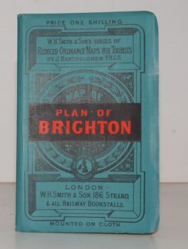
BRIGHTON.
Plan of Brighton [with comprehensive Street Index]
W. H. Smith's Series of Reduced Ordnance Survey Maps for Tourists by J. Bartholomew. [Scale: 2.5 inches to One Mile.]
Read more details -
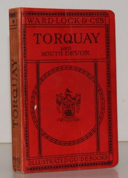
WARD LOCK RED GUIDE
A Pictorial and Descriptive Guide to Torquay, Paignton, Dartmouth, Kingsbridge, Totnes and other South Devon Resorts
Thirteenth Edition, revised.
Read more details
Topography
England
Books are listed by county following the boundaries defined in the Local Government Act 1888. Islands are included in the nearest mainland county (eg. Cornwall & Isles of Scilly).
Ireland, Scotland, Wales.
Books are arranged by country.
