-
LORD LEYCESTER HOSPITAL.
[Guide to] The Hospital of Robert Earl of Leycester, Warwick
Read more details -
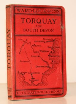
WARD LOCK RED GUIDE
A Pictorial and Descriptive Guide to Torquay, Paignton, Dartmouth, Kingsbridge, Totnes. Special Section for Motorists
Fourteenth Edition, revised.
Read more details -
WARD LOCK RED GUIDE
A Pictorial and Descriptive Guide to Edinburgh and its Environs
Eighth Edition, revised.
Read more details -
FAIRWEATHER, ed., Rev. William
Memorials of Dunnikier Church Kirkaldy. With a Historical Introduction
Read more details -
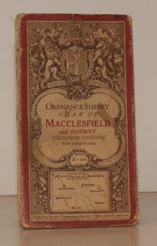
ORDNANCE SURVEY
Ordnance Survey One-Inch Map. Macclesfield and District.
Coloured Edition. Sheet 45. Scale: One Inch to to One Mile.
Read more details -
BROADWINDSOR
A Guide to the Parish Church of the Nativity of St. John the Baptist, Broadwindsor, Dorset
Read more details -
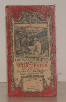
ORDNANCE SURVEY
Ordnance Survey Contoured Road Map of Winchester and District
Sheet 123. Popular Edition. Scale One Inch to One Mile.
Read more details -
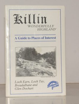
KILLIN
Killin. ‘Wonderfully Highland’. A Guide to Places of Interest. Loch Earn, Loch Tay, Breadalbane and Glen Dochart
Written and compiled by James Douglas.
Read more details -
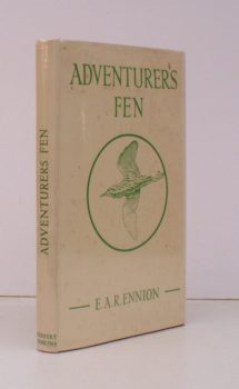
ENNION, E. A. R
Adventurers Fen
With a Foreword by Brian Vesey-Fitzgerald. [Revised and extensively enlarged edition].
Read more details -
SMITH, John
Fittleworth. A Time of Change 1895-1918.
Photographed by John Smith (1852-1925). Based on his 'Notes for a History of Fittleworth' (made by him between 1895 and 1916). Compiled by his Great-niece Angela Brookfield and re-photographed by Kiki Claxton.
Read more details -
PALMER, ed., Arnold
Recording Britain. [A Permanent Memorial of the Changing Face of Britain by 95 well-known Artists.]
[Edited, with Notes, by Arnold Palmer.]
Read more details -
PARKER, C. B.
Pages from Worcestershire History
With a Preface by J.W. Willis-Bund.
Read more details -
PEVSNER, Nikolaus
The Buildings of England. London except the Cities of London and Westminster
[First Paperback Edition].
Read more details -
FREESE, Stanley
The Watermills of Buckinghamshire. A 1930s Account by Stanley Freese with original Photographs
Edited by Michael Farley, Edward Legg and James Venn with a Contribution by Martin Watts.
Read more details -
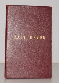
STANFORD'S MAP OF EAST DEVON
Stanford’s Map of East Devon
[Scale One Inch to One Statute Mile.]
Read more details -
GORDON, Seton
Highways and Byways in the Central Highlands
With Illustrations by Sir D. Y. Cameron. Foreword and a Glossary of Place-Name Elements with Aids to Pronunciation by W.J. Watson.
Read more details -
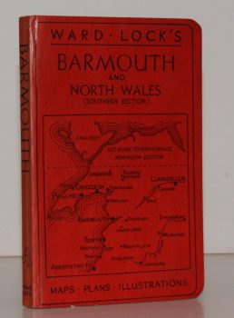
WARD LOCK RED GUIDE
Guide to Barmouth, Harlech, Dolgelley and North Wales (Southern Section). With a Special Section for Motorists and an Appendix for Anglers
Twelfth Edition.
Read more details -
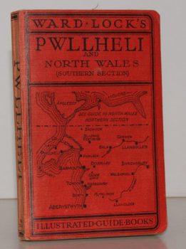
WARD LOCK RED GUIDE
Guide to Pwllheli, the Lleyn Peninsula and North Wales (Southern Section). With a Special Section for Motorists and an Appendix for Anglers
Tenth Edition.
Read more details -
CROMWELL], [Thomas Kitson
History of Sussex; or, Excursions in that County. Comprising brief Historical and Topographical Delineations. Forming a complete Guide for the Traveler and Tourist
Read more details
Topography
England
Books are listed by county following the boundaries defined in the Local Government Act 1888. Islands are included in the nearest mainland county (eg. Cornwall & Isles of Scilly).
Ireland, Scotland, Wales.
Books are arranged by country.

