-

-

-
PULLAN, B.
A History of the University of Manchester 1951-73
History of the University of Manchester 1951-73.
Read more details -
-

PULMAN, George P. R.
The Book of the Axe; containing a Piscatorial Description of that Stream and Historical Sketches of all the Parishes upon its Banks. [Facsimile re-issue.]
Read more details -
-

-

PYATT, Edward C
Chalkways of South and South-East England
Maps compiled by Gillian Pyatt.
Read more details -

-

QUENNELL, C.H.B.
Somerset
Shell Guide. [Edited by John Betjeman. First Faber edition],
Read more details -
-
-
-
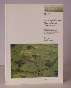
RAHTZ, Philip
An Anglo-Saxon Watermill at Tamworth
Excavations in the Bolebridge Street area of Tamworth, Staffordshire in 1971 and 1978.
Read more details -
-

-
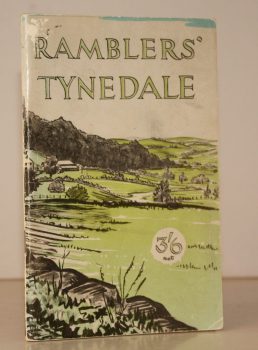
RAMBLERS ASSOCIATION
Ramblers Tynedale
Ten Walks in the South West of Northumberland around Tyne, North Tyne & South Tyne Dales. Ramblers Association. Northern Area.
Read more details -
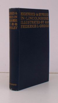
RAWNSLEY, Willingham Franklin
Highways and Byways in Lincolnshire
With Illustrations by Frederick L. Griggs.
Read more details -

-
-
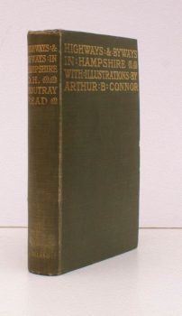
READ, D.H.M.
Highways and Byways in Hampshire
With Illustrations by Arthur B. Connor.
Read more details -

READ, D.H. Moutray
Highways and Byways in Hampshire
With Illustrations by Arthur B. Connor. [Pocket Edition].
Read more details -

-
-
Topography
England
Books are listed by county following the boundaries defined in the Local Government Act 1888. Islands are included in the nearest mainland county (eg. Cornwall & Isles of Scilly).
Ireland, Scotland, Wales.
Books are arranged by country.