-
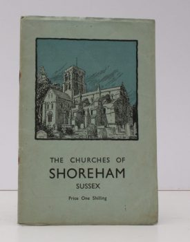
SIMPSON, Rev. F.S.W.
A Descriptive Account of the Churches of St. Nicholas, Old Shoreham and St. Mary De Haura, New Shoreham
Sketches from original Pen and Ink Drawings by Mrs. A.E. Macleod.
Read more details -
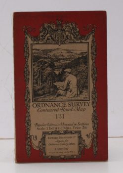
ORDNANCE SURVEY
Ordnance Survey Contoured Road Map. [Wimborne & Ringwood]
Sheet 31. Scale: One Inch to One Mile.
Read more details -
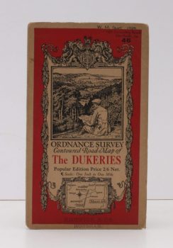
ORDNANCE SURVEY
Ordnance Survey Contoured Road Map of The Dukeries
Popular Edition. Sheet 46 Scale: One Inch to One Mile.
Read more details -
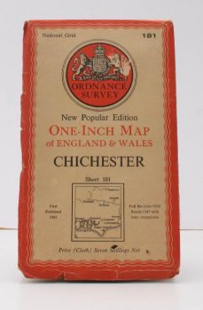
ORDNANCE SURVEY
Ordnance Survey One-Inch Map. Chichester
New Popular Edition. Sheet 181. Full revision 1930. Roads 1947 with later corrections.
Read more details -
ORDNANCE SURVEY
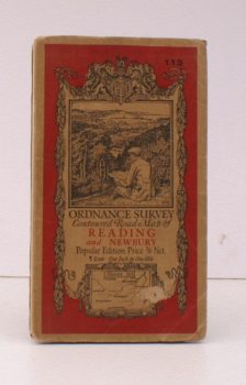
Ordnance Survey Contoured Road Map of Reading and Newbury
Popular Edition. Sheet 113 Scale: One Inch to One Mile.
Read more details -
ORDNANCE SURVEY
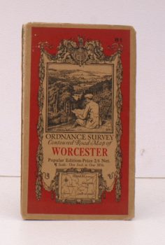
Ordnance Survey Contoured Road Map of Worcester
Popular Edition. Sheet 81. Scale: One Inch to One Mile.
Read more details -
DENNY, Barbara
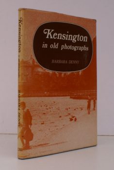
Kensington in Old Photographs
Compiled from the Collection in Kensington Central Library.
Read more details -
MAIS, S.P.B.
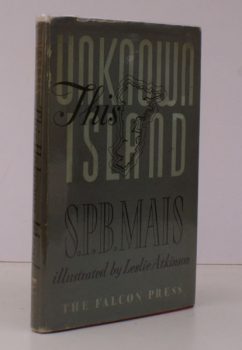
This Unknown Island
Maps and Drawings by Leslie Atkinson. [Revised and Best Edition].
Read more details -
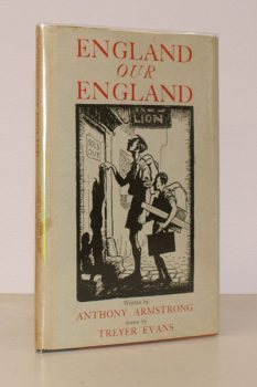
ARMSTRONG, Anthony
England our England
A Vague and Unauthenticated Gudie to some English Towns. With Drawings by Treyer Evans.
Read more details -
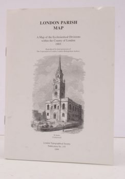
LONDON TOPOGRAPHICAL SOCIETY
London Parish Map
A Map of the Ecclesiastical Divisions within the County of London 1903. Reproduced by Permission of the Corporation of London, London Metropolitan Archive.
Read more details
Topography
England
Books are listed by county following the boundaries defined in the Local Government Act 1888. Islands are included in the nearest mainland county (eg. Cornwall & Isles of Scilly).
Ireland, Scotland, Wales.
Books are arranged by country.
