-
NICHOLLS, Rev. H.G.
Nicholls’s Forest of Dean
An Historical and Descriptive Account [with] Iron Making in the Olden Times. [New Edition, With an Introduction by Cyril Hart].
Read more details -
ORDNANCE SURVEY
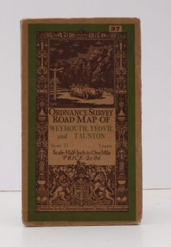
Ordnance Survey Road Map of Weymouth, Yeovil and Taunton
Sheet 37. Layers. Scale 1/2 Inch to One Mile.
Read more details -
MEE, Arthur
The King’s England. Sussex
Fully revised and edited by C.L.S. Linnell. Illustrated with new Photographs by A.F. Kersting.
Read more details -
ORDNANCE SURVEY
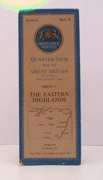
Ordnance Survey.Quarter-Inch Map. The Eastern Highlands
Fourth Edition with National Grid. Sheet 5. [Scale: Quarter-Inch to One Mile].
Read more details -
YEO, Geoffrey
Images of Bart’s
An Illustrated History of St. Bartholomew's Hospital in the City of London.
Read more details -
ORDNANCE SURVEY
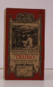
Ordnance Survey Contoured Road Map of Truro and St. Austell
Sheet 143. Popular Edition. Scale: One Inch to to One Mile.
Read more details -
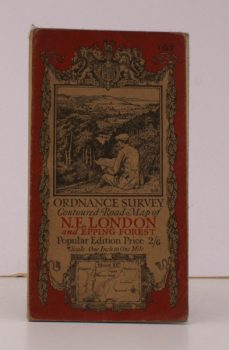
ORDNANCE SURVEY
Ordnance Survey Contoured Road Map of N.E. London and Epping Forest
Sheet 107. Popular Edition. Scale: One Inch to to One Mile.
Read more details -
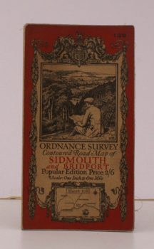
ORDNANCE SURVEY
Ordnance Survey Contoured Road Map of Sidmouth and Bridport
Sheet 139. Popular Edition. Scale: One Inch to to One Mile.
Read more details -
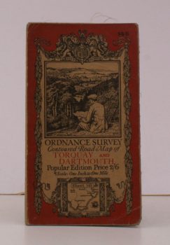
ORDNANCE SURVEY
Ordnance Survey Contoured Road Map of Torquay and Dartmouth
Sheet 145. Popular Edition. Scale: One Inch to to One Mile.
Read more details -
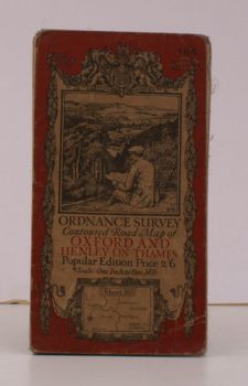
ORDNANCE SURVEY
Ordnance Survey Contoured Road Map of Oxford and Henley-on-Thames
Sheet 105. Popular Edition. Scale: One Inch to to One Mile.
Read more details -
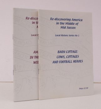
MATTHEWS, Debby
Re-discovering America in the Middle of Mid-Sussex. Nos 1 and 2.
No. 1: Barn Cottage: Cows, Cottages and Football Heroes. No. 2: America Lane: In the Footsteps of William Allen.
Read more details -
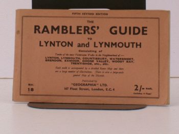
and LYNMOUTH, LYNTON
The Ramblers’ Guide to Lynton and Lynmouth
Fifth Revised Edition.
Read more details -
MEE, Arthur
The King’s England
Fully revised and edited by C.L.S. Linnell. Illustrated with new Photographs by A.F. Kersting.
Read more details -
SURREY
Surrey as it was One Hundred Years Ago
Twenty-Four Reproductions of Old Views. With short descriptive Text.
Read more details -
WORSHIPFUL COMPANY OF MERCHANT TAYLORS
The Merchant Taylors’ Company in the City of London [with] Grant of Arms from Taylors and Linen Armourers to Merchant Taylors in the City of London
Read more details -
FOSTER, Jim
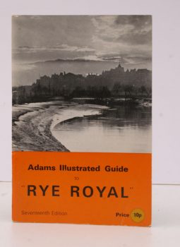
Adams Illustrated Guide to Rye Royal with Notes of the District
With Notes on the District. [Seventeenth Edition.]
Read more details -
VEREY, Rev. Lewis
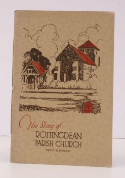
The Story of the Parish Church of St. Margaret, Rottingdean
Revised and brought up-to-date in 1937.
Read more details
Topography
England
Books are listed by county following the boundaries defined in the Local Government Act 1888. Islands are included in the nearest mainland county (eg. Cornwall & Isles of Scilly).
Ireland, Scotland, Wales.
Books are arranged by country.


