-
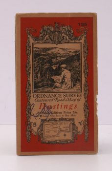
ORDNANCE SURVEY
Ordnance Survey Contoured Road Map of Hastings
Popular Edition. One Inch. Sheet 135. [Ellis Martin cover].
Read more details -
HUTTON, W. H.
Highways and Byways in Shakespeare’s Country
With Illustrations by Edmund H New.
Read more details -
MEE (ed.), Arthur
The King’s England
Beauty and the Black Country. [Fourth Impression].
Read more details -
FELTON, H.
The Beauty of Worcestershire
Camera Pictures of the County. [Homeland Illustrated No. 15].
Read more details -
MEE, Arthur
The King’s England
Fully revised and rewritten by Ann Saunders. Illustrated with new Photographs by A.F. Kersting.
Read more details -
STICKINGS, Thomas G.
The Story of Saundersfoot
[Foreword by Lord Merthyr. Second Edition].
Read more details -
EVANS, A. A.
Friston Parish Church
St. James the Greater anciently called St. Mary the Virgin. A Short Historical Account of the Church and Parish.
Read more details -
WINBOLT, S.E.
Bell’s Pocket Guides
With Illustrations from Photographs by Edgar Ward.
Read more details -
WINBOLT, S.E.
Bell’s Pocket Guides
With Illustrations from Photographs by Edgar & Winifred Ward.
Read more details -
WINBOLT, S.E.
Bell’s Pocket Guides
Illustrated from Photographs by Edgar & Winifred Ward.
Read more details -
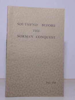
POLLITT, William
Southend before the Norman Conquest
Being the Second (Revised) Edition of the Archaeology of Rochford Hundred and South East Essex.
Read more details -
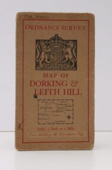
ORDANCE SURVEY
Ordnance Survey [Tourist] Map of Dorking & Leith Hill
One Inch to One Mile. ['Official Royal Arms' cover].
Read more details
Topography
England
Books are listed by county following the boundaries defined in the Local Government Act 1888. Islands are included in the nearest mainland county (eg. Cornwall & Isles of Scilly).
Ireland, Scotland, Wales.
Books are arranged by country.
