-
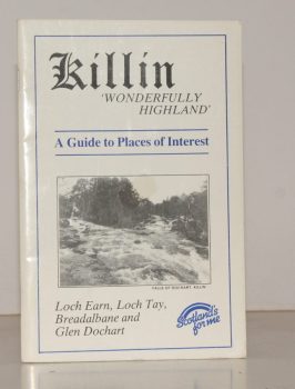
KILLIN
Killin. ‘Wonderfully Highland’. A Guide to Places of Interest. Loch Earn, Loch Tay, Breadalbane and Glen Dochart
Written and compiled by James Douglas.
Read more details -
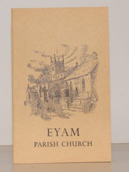
TURNER, Ernest M.
The Parish Church of St. Lawrence, Eyam. A Little Guide for Visitors
Read more details -
-
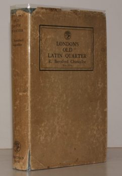
CHANCELLOR, E. Beresford
London’s Old Latin Quarter. Being an Account of Tottenham Court Road and its immediate Surroundings
Read more details -
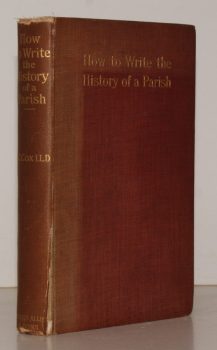
COX, J. Charles
How to write the History of a Parish. An Outline Guide to Topographical Records, Manuscripts and Books
Fifth Edition, revised.
Read more details -

-
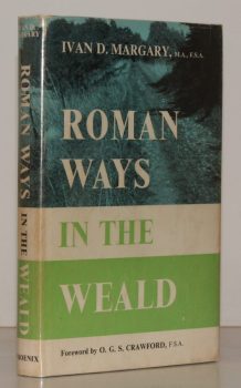
MARGARY, Ivan D.
Roman Ways in the Weald
With a Foreword by O.G.S. Crawford. [Third, revised, edition.]
Read more details -
-

-

FIRTH, J. B.
Highways and Byways in Derbyshire
With Illustrations by Nelly Erichsen.
Read more details -

MAWER, A.
The Place-Names of Sussex
With the Assistance of J.E.B. Gover. [English Place-Name Society, Vols. VI and VII].
Read more details -
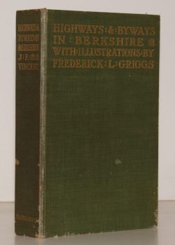
VINCENT, James Edmund
Highways and Byways in Berkshire
With Illustrations by Frederick L. Griggs.
Read more details -
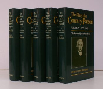
WOODFORDE, Rev. James
The Diary of a Country Parson: the Reverend James Woodforde
Edited by John Beresford.
Read more details -
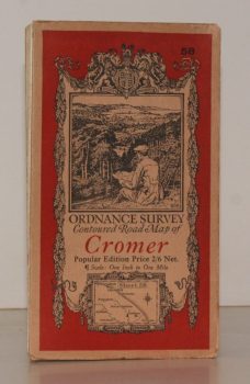
ORDNANCE SURVEY
Ordnance Survey Contoured Road Map of Cromer
Sheet 58. Popular Edition. Scale One Inch to One Mile.
Read more details -
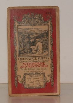
ORDNANCE SURVEY
Ordnance Survey Contoured Road Map of Wimborne and Ringwood
Sheet 131. Popular Edition. Scale One Inch to One Mile.
Read more details -
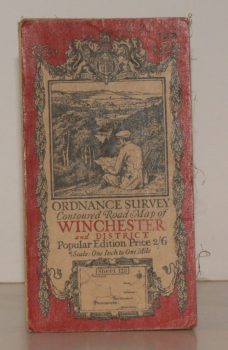
ORDNANCE SURVEY
Ordnance Survey Contoured Road Map of Winchester and District
Sheet 123. Popular Edition. Scale One Inch to One Mile.
Read more details -
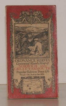
ORDNANCE SURVEY
Ordnance Survey Contoured Road Map of Norwich and Great Yarmouth
Sheet 67. Popular Edition. Scale One Inch to One Mile.
Read more details -
-
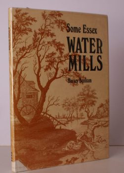
BENHAM, Hervey
Some Essex Water Mills
Drawings by James and Andrew Dodds. [Second Edition.]
Read more details -

LANG, Andrew
Highways and Byways in The Border
With Illustrations by Hugh Thomson.
Read more details -
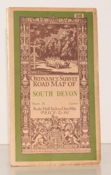
ORDNANCE SURVEY
Ordnance Survey Road Map of South Devon
Sheet 36. Layered Edition. Scale Half-Inch Inch to One Mile
Read more details -
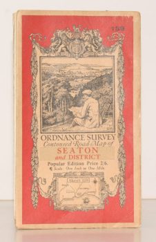
ORDNANCE SURVEY
Ordnance Survey Contoured Road Map of Seaton and District
Sheet 139. Popular Edition. Scale One Inch to One Mile
Read more details -

BROADWINDSOR
A Guide to the Parish Church of the Nativity of St. John the Baptist, Broadwindsor, Dorset
Read more details -

-
Topography
England
Books are listed by county following the boundaries defined in the Local Government Act 1888. Islands are included in the nearest mainland county (eg. Cornwall & Isles of Scilly).
Ireland, Scotland, Wales.
Books are arranged by country.