-
WARD LOCK RED GUIDE
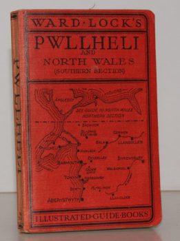
Guide to Pwllheli, the Lleyn Peninsula and North Wales (Southern Section). With a Special Section for Motorists and an Appendix for Anglers
Tenth Edition.
Read more details -
WARD LOCK RED GUIDE
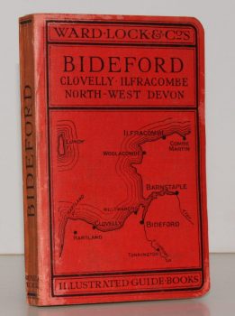
A Pictorial and Descriptive Guide to Bideford, Clovelly, Hartland, Barnstaple, Ilfracombe and North-West Devon. Special Section for Motorists
Thirteenth Edition, revised.
Read more details -
WARD LOCK RED GUIDE
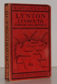
A Pictorial and Descriptive Guide to Lynton, Lynmouth, Exmoor, Minehead and the Land of ‘Lorna Doone’. Special Section for Motorists
Twelfth Edition, revised.
Read more details -
WARD LOCK RED GUIDE
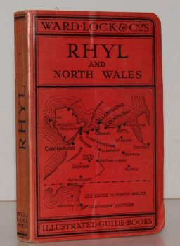
A Pictorial and Descriptive Guide to Rhyl and North Wales (Northern Section). Special Section for Motorists
Eleventh Edition, revised.
Read more details -
WARD LOCK RED GUIDE
A Pictorial and Descriptive Guide to Malvern and District, including Tewkesbury, Gloucester, Cheltenham, Worcester, Droitwich, Hereford etc.
Fourth Edition, revised.
Read more details -
WARD LOCK RED GUIDE
A Pictorial and Descriptive Guide to the Wye Valley, including Llandrindod Wells and the Spas of Central Wales. Special Sections for Motorists and Anglers
Tenth Edition, revised.
Read more details -
WARD LOCK RED GUIDE
A Pictorial and Descriptive Guide to South Wales, including Brecon, Newport, Cardiff, Vale of Neath, Swansea, Gower, Carmarthen, Llandovery, Tenby, Pembroke, Fishguard, Cardigan, New Quay, Aberystwyth etc.
Fourth Edition, revised.
Read more details -
WARD LOCK RED GUIDE
A Pictorial and Descriptive Guide to Torquay, Paignton, Dartmouth, Kingsbridge, Totnes and other South Devon Resorts
Thirteenth Edition, revised.
Read more details -
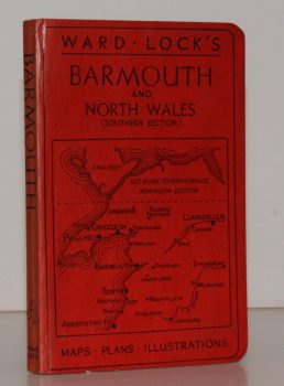
WARD LOCK RED GUIDE
Guide to Barmouth, Harlech, Dolgelley and North Wales (Southern Section). With a Special Section for Motorists and an Appendix for Anglers
Twelfth Edition.
Read more details -
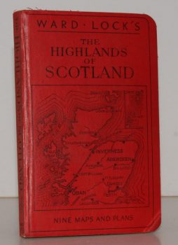
WARD LOCK RED GUIDE
Guide to the Highlands of Scotland, following the Principal Road, Railway and Steamer Routes, and indicating the Chief Tours from each Centre
Eleventh Edition.
Read more details -
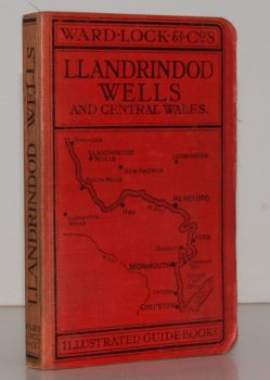
WARD LOCK RED GUIDE
A Pictorial and Descriptive Guide to Llandrindod Wells and the Wye Valley, including Builth Wells, Llanwrtyd Wells and Llangammarch Wells, Rhayader and the Birmingham Waterworks
With a Special Section for Motorists and Notes on Angling, etc. Ninth Edition.
Read more details -

WARD LOCK RED GUIDE
Guide to the Cotswolds. With Special Sections on Natural Life and Antiquities by H.J. Massingham and Architecture by Clough Williams-Ellis.
Third Edition.
Read more details -
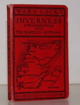
WARD LOCK RED GUIDE
Guide to Inverness, Strathpeffer, Nairn, Forres, Elgin and Northern Scotland
With Descriptions of the New Roads and a Special Section on 'Bird Life in Northern Scotland' by Seton Gordon.
Read more details -
-
-
-

GORDON, Seton
Highways and Byways in the Central Highlands
With Illustrations by Sir D. Y. Cameron. Foreword and a Glossary of Place-Name Elements with Aids to Pronunciation by W.J. Watson.
Read more details -

-
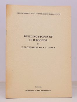
VENABLES, E. M.
Building Stones of Old Bognor
With Geological and Historical Sketches.
Read more details -
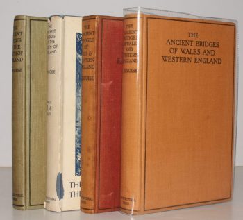
JERVOISE, Edwyn
The Ancient Bridges of England. The South of England [with] The North of England [with] Mid and Eastern England [with] Wales and Western England. [Complete set]
Read more details -
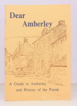
STAINES, Rev. E. Noel
Dear Amberley. A Guide to Amberley and History of the Parish
Read more details -
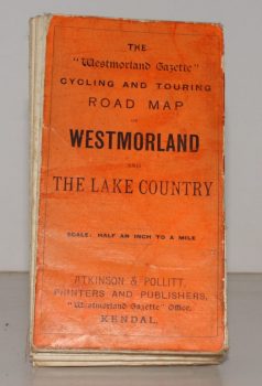
WESTMORLAND AND LAKE COUNTRY.
The ‘Westmorland Gazette’ Cycling and Touring Map of Westmorland and the Lake Country
Scale Half an Inch to a Mile.
Read more details -
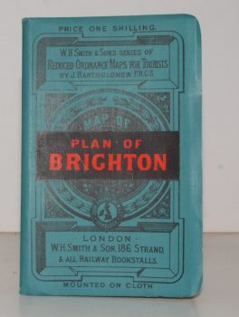
BRIGHTON.
Plan of Brighton [with comprehensive Street Index]
W. H. Smith's Series of Reduced Ordnance Survey Maps for Tourists by J. Bartholomew. [Scale: 2.5 inches to One Mile.]
Read more details -
STANFORD'S MAP OF EAST DEVON
Stanford’s Map of East Devon
[Scale One Inch to One Statute Mile.]
Read more details -
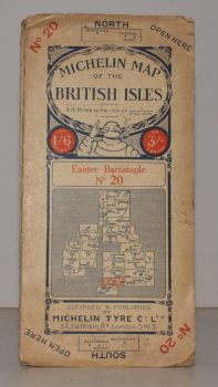
MICHELIN MAP EXETER - BARNSTAPLE
Michelin Map of the British Isles. No. 20. Exeter – Banstaple
[Scale 3.15 miles to an Inch.]
Read more details
Topography
England
Books are listed by county following the boundaries defined in the Local Government Act 1888. Islands are included in the nearest mainland county (eg. Cornwall & Isles of Scilly).
Ireland, Scotland, Wales.
Books are arranged by country.