-
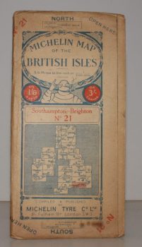
MICHELIN MAP SOUTHAMPTON - BRIGHTON
Michelin Map of the British Isles. No. 21. Southampton – Brighton
[Scale 3.15 miles to an Inch.]
Read more details -
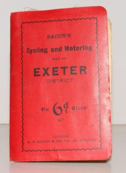
CYCLING & MOTORING MAP OF EXETER DISTRICT
Bacon’s Cycling and Motoring Map of Exeter District[Cycling and Touring] Map of 60 Miles South of London, including Worthing, Brighton, Hastings, etc.
Scale Half an Inch to One Mile.
Read more details -
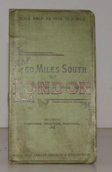
CYCLING & TOURING MAP 60 MILES SOUTH OF LONDON.
[Cycling and Touring] Map of 60 Miles South of London, including Worthing, Brighton, Hastings, etc.
Scale Half an Inch to a Mile.
Read more details -
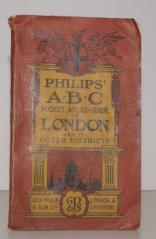
LONDON.
Philips’ ABC Pocket Atlas-Guide to London and its Outer Districts with Postal Areas.
Sixteenth and Enlarged Edition.
Read more details -
-

VEREY, David
The Buildings of England. Gloucestershire. 1. The Cotswolds [with] Gloucestershire 2. The Vale and the Forest of Dean
[First Cloth Editions].
Read more details -
-
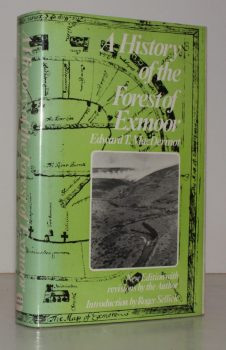
MACDERMOT, Edward T.
The History of the Forest of Exmoor
Revised Edition with Introduction by R.J. Sellick.
Read more details -
-

WARD LOCK RED GUIDE
Guide to Bideford, Clovelly, Westward Ho!, Barnstaple, Ilfracombe and North-West Devon
Special Section for Motorists. Fifteenth Edition.
Read more details -
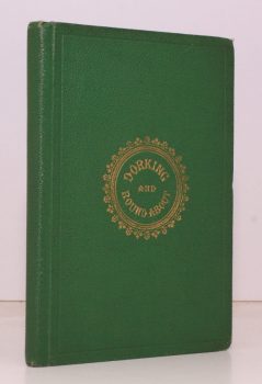
BRIGHT, J. S.
Dorking. A History of the Town, with a Description of the distinguished Residences, remarkable Places, Walks and Drives, and Literary Associations of the Neighbourhood
Read more details -
-
-
KENT ARCHAEOLOGICAL SOCIETY
Archaeologia Cantiana: being Transactions of the Kent Archaeological Society. Volume LIX
Read more details -
KENT ARCHAEOLOGICAL SOCIETY
Archaeologia Cantiana: being Transactions of the Kent Archaeological Society. Volume XLIXI
Read more details -
KENT ARCHAEOLOGICAL SOCIETY
Archaeologia Cantiana: being Transactions of the Kent Archaeological Society. Volume XLVIII
Read more details -
KENT ARCHAEOLOGICAL SOCIETY
Archaeologia Cantiana: being Transactions of the Kent Archaeological Society. Volume XLVII
Read more details -
KENT ARCHAEOLOGICAL SOCIETY
Archaeologia Cantiana: being Transactions of the Kent Archaeological Society. Volume XVI
Read more details -
-

-

DORCHESTER.
Dorchester, Dorset. Official Guide
Issued under the Auspices of the Dorchester Borough Council.
Read more details -

-
GRESWELL, Rev. William H. P.
Dumnonia and the Valley of the Parret. A Historical Retrospect
Read more details -

PEVSNER, Nikolaus
The Buildings of England. Leicestershire and Rutland
[First Cloth Edition].
Read more details -
Topography
England
Books are listed by county following the boundaries defined in the Local Government Act 1888. Islands are included in the nearest mainland county (eg. Cornwall & Isles of Scilly).
Ireland, Scotland, Wales.
Books are arranged by country.