-
WARD LOCK RED GUIDE
A Pictorial and Descriptive Guide to the English Lake District
With an Outline Guide for Walkers and a Special Section for Motorists. Twenty-First Edition.
Read more details -
WARD LOCK RED GUIDE
A Pictorial and Descriptive Guide to Bideford, Clovelly, Hartland, Barnstaple, Ilfracombe and North-West Devon
With a Special Section for Motorists. Thirteenth Edition.
Read more details -
WARD LOCK RED GUIDE
Guide to the English Lake District
With an Outline Guide for Walkers and a Special Section for Motorists. Twenty-Fifth Edition.
Read more details -
WARD LOCK RED GUIDE
A Pictorial and Descriptive Guide to the English Lake District
With an Outline Guide for Walkers and a Special Section for Motorists. Twenty-Second Edition.
Read more details -
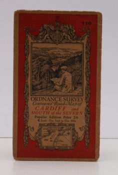
ORDNANCE SURVEY
Ordnance Survey Contoured Road Map of Cardiff and Mouth of the Severn
Popular Edition. Sheet 110. Scale: One Inch to to One Mile.
Read more details -
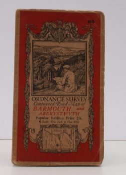
ORDNANCE SURVEY
Ordnance Survey Contoured Road Map of Barmouth and Aberystwyth
Popular Edition. Sheet 68. Scale: One Inch to to One Mile.
Read more details -
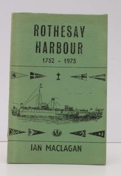
MACLAGAN, Ian
Rothesay Harbour
An Historical Survey from 1752-1975. Being Volume XIX of the Transactions of the Buteshire Natural History Society.
Read more details -
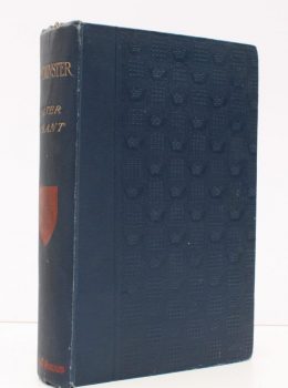
BESANT, Walter
Westminster
A New Edition, with an Etching by Francis Walker and Illustrations by William Patten and others.
Read more details -
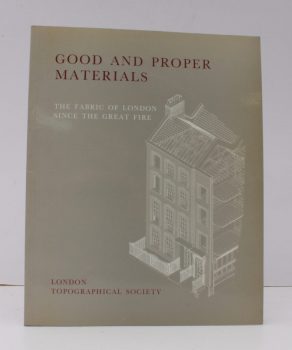
HOBHOUSE, Hermione
Good and Proper Materials
The Fabric of London since the Great Fire. Papers given at a Conference organised by the Survey of London at the Society of Antiquaries on 21 October 1988.
Read more details -
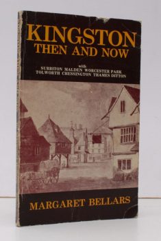
BELLARS, Margaret
Kingston Then and Now
with Surbiton, Malden, Worcester Park, Tolworth, Chessington, Thames Ditton. [Second Edition]
Read more details -
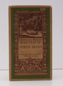
ORDNANCE SURVEY
Ordnance Survey Road Map of North Devon
Sheet 31. Scale: Half-Inch to One Mile.
Read more details -
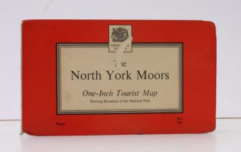
ORDNANCE SURVEY
Ordnance Survey One-Inch Tourist Map. The North York Moors
Scale: One Inch to to One Mile.
Read more details -
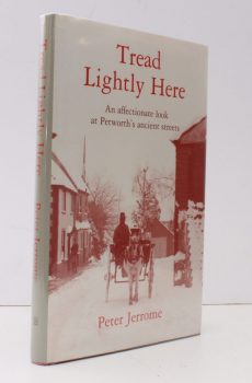
JERROME, Peter
Tread Lightly Here
An affectionate Look at Petworth's ancient Streets.
Read more details -
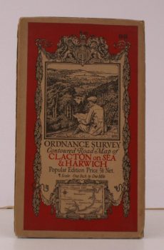
ORDNANCE SURVEY
Ordnance Survey Contoured Road Map of Clacton-on-Sea and Harwich
Sheet 98. Scale: One Inch to to One Mile.
Read more details -
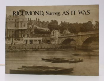
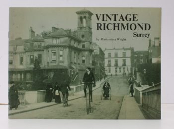
RICHMOND, SURREY.
Richmond, Surrey, as it was
A Selection of Victorian and Edwardian Photographs compiled and annotated by the Historical and Arachaeological Section of the Richmond Society. [Second Impression].
Read more details -
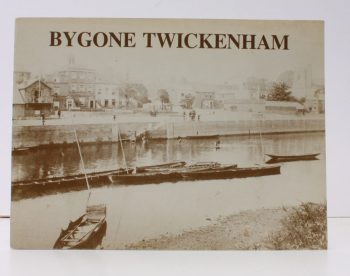
TWICKENHAM.
Bygone Twickenham
Written and compiled by Members of the Borough of Twickenham Local History Society
Read more details -
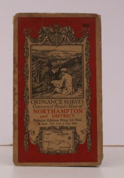
ORDNANCE SURVEY
Ordnance Survey Contoured Road Map of Northampton and District
Sheet 83. Scale: One Inch to to One Mile.
Read more details
Topography
England
Books are listed by county following the boundaries defined in the Local Government Act 1888. Islands are included in the nearest mainland county (eg. Cornwall & Isles of Scilly).
Ireland, Scotland, Wales.
Books are arranged by country.


