-
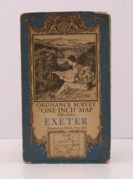
ORDNANCE SURVEY
Ordnance Survey ‘One-Inch’ Map. Fifth Edition. Exeter
Sheet 138. [Scale: One Inch to One Mile].
Read more details -
-

-
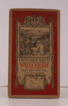
ORDNANCE SURVEY
Ordnance Survey Contoured Road Map of Wells, Frome and District
Sheet 121. Scale: One Inch to to One Mile.
Read more details -
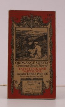
ORDNANCE SURVEY
Ordnance Survey Contoured Road Map of Tavistock and Dartmoor
Sheet 137. Popular Edition. Scale: One Inch to to One Mile.
Read more details -
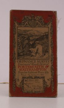
ORDNANCE SURVEY
Ordnance Survey Contoured Road Map of Portsmouth and Southampton
Sheet 132. Popular Edition. Scale: One Inch to to One Mile.
Read more details -
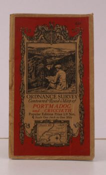
ORDNANCE SURVEY
Ordnance Survey Contoured Road Map of Portmadoc and Criccieth
Sheet 49. Scale: One Inch to to One Mile.
Read more details -
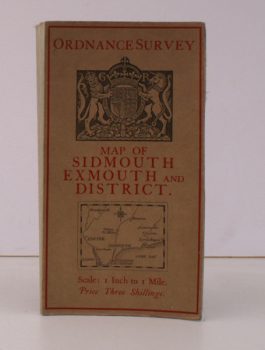
ORDNANCE SURVEY
Ordnance Survey Map of Sidmouth, Exmouth and District
Scale: One Inch to to One Mile.
Read more details -
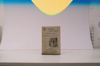
FIELD, Rev. T
Canterbury Official Guide to the Cathedral Church
and Handbook to the City
Read more details -

-
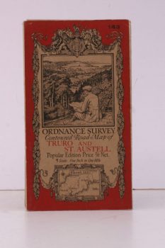
ORDNANCE SURVEY
Ordnance Survey Contoured Road Map of Truro and St. Austell
One Inch, Sheet 143. [Ellis Martin cover].
Read more details -
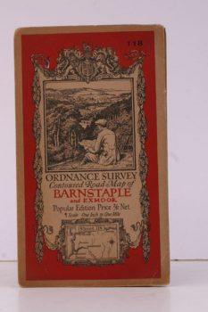
ORDNANCE SURVEY
Ordnance Survey Contoured Road Map of Barnstaple and Exmoor
Popular Edition. One Inch, Sheet 118. [Ellis Martin cover].
Read more details -
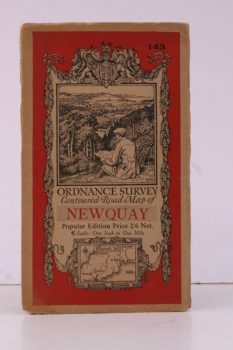
ORDNANCE SURVEY
Ordnance Survey Contoured Road Map of Newquay
Popular Edition. One Inch, Sheet 143. [Ellis Martin cover].
Read more details -
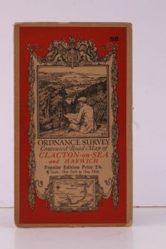
ORDNANCE SURVEY
Ordnance Survey Contoured Road Map of Clacton-on-Sea and Harwich
Popular Edition. One Inch, Sheet 98. [Ellis Martin cover].
Read more details -

-
-
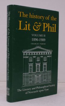
PARISH, Charles
The History of the Literary and Philosophical Society of Newcastle upon Tyne
Volume II 1896-1989. [With Contributions by Others].
Read more details -

-
-
-
-

WARNER, O.
A History of the Tin Plate Workers alias Wire Workers Company of the City of London
History of the Tin Plate Workers alias Wire Workers Company of the City of London.
Read more details -
KENT ARCHAEOLOGICAL SOCIETY
Archaeologia Cantiana: being Transactions of the Kent Archaeological Society
Read more details -
SUSSEX ARCHAEOLOGICAL SOCIETY
Sussex Archaeological Collections relating to the History and Antiquities of the County
Relating to the History and Antiquities of the County.
Read more details -
Topography
England
Books are listed by county following the boundaries defined in the Local Government Act 1888. Islands are included in the nearest mainland county (eg. Cornwall & Isles of Scilly).
Ireland, Scotland, Wales.
Books are arranged by country.