-
SMITH, Juliet
A Shell Guide [to Northamptonshire]
A Shell Guide. [Second Edition].
Read more details -
ORDNANCE SURVEY
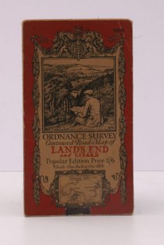
Ordnance Survey Contoured Road Map of Land’s End and Lizard
Popular Edition. One Inch. Sheet 146. [Ellis Martin cover].
Read more details -
ORDNANCE SURVEY
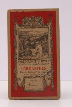
Ordnance Survey Contoured Road Map of Carmarthen
Popular Edition. One Inch. Sheet 89. [Ellis Martin cover].
Read more details -
ORDNANCE SURVEY
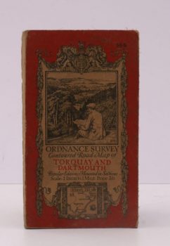
Ordnance Survey Contoured Road Map of Torquay and Dartmouth
Popular Edition. One Inch. Sheet 145. [Ellis Martin cover].
Read more details -
WARD LOCK RED GUIDE
Guide to Stratford-upon-Avon, Leamington, Warwick, Kenilworth, and Shakespeare’s Birthplace
Eighth Edition - revised.
Read more details -
CHICHESTER
The City of Chichester
The Sole Official Guide issued by the Corporation of Chichester. The Sole Official Guide issued by the Corporation of Chichester. 13th Edition.
Read more details -
BRADLEY, A.G.
Highways and Byways in the Lake District
With Illustrations by Joseph Pennell. [First Pocket Edition].
Read more details -
BRITISH ASSOCIATION
Manchester and its Region
A Survey prepared for the Meeting held in Manchester August 29 to September 2 1962.
Read more details -
SMITH, Tony
Kettering Revisited
Pictures from the Past. [Foreword by Tony Ireson].
Read more details -
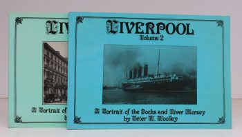
WOOLLEY, Peter W.
Liverpool in Old Picture Postcards
Vol 1: A Portrait of a City; Vol. 2: A Portrait of the Docks and River Mersey. Foreword by Brian Jacques of BBC Radio Merseyside.
Read more details
Topography
England
Books are listed by county following the boundaries defined in the Local Government Act 1888. Islands are included in the nearest mainland county (eg. Cornwall & Isles of Scilly).
Ireland, Scotland, Wales.
Books are arranged by country.


