-
-
-
-
-
-
MOOG, Bethold
The Horizontal Watermill
History and Technique of the First Prime Mover.
Read more details -
JARVIS, P.S.
Stability in Windmills and the Sunk Postmill
Second, revised Edition.
Read more details -
-

-
-

-
-
-
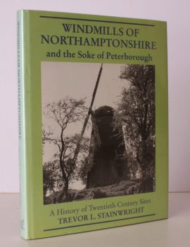
STAINWRIGHT, Trevor L.
Windmills of Northamptonshire and the Soke of Peterborough
A History of Twentieth Century Sites.
Read more details -

-

WARD LOCK RED GUIDE
A Pictorial and Descriptive Guide to the Wye Valley, including Llandrindod Wells and the Spas of Central Wales
Tenth Edition.
Read more details -

WARD LOCK RED GUIDE
Guide to Western Scotland, Oban, Fort William, Skye and the Hebrides
Read more details -

WARD LOCK RED GUIDE
A Pictorial and Descriptive Guide to the Isle of Man
Appendix for Anglers. Seventh Edition.
Read more details -

ADAM, Frank
The Clans, Septs and Regiments of the Scottish Highlands
Revised by Sir Thomas Innes of Learney. Eighth Edition.
Read more details -

-
-
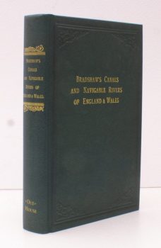
DE SALIS, Henry Rodolph
Bradshaw’s Canals and Navigable Rivers of England and Wales
A Handbook of Inland Navigation for Manufacturers, Merchants, Traders and Others. Compiled, after a Personal Survey of the Whole of the Waterways, by Henry Rodolph de Salis. [Facsimile reissue].
Read more details -
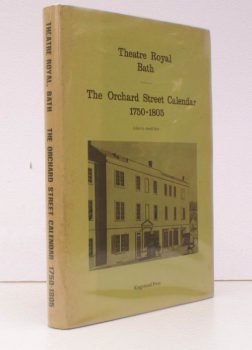
THEATRE ROYAL BATH.
A Calendar of Performances at the Orchard Street Theatre 1750-1805
Compiled by Heather Bryant [and many others]. With additional Material by Kathleen Barker. Edited by Arnold Hare.
Read more details -
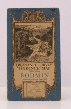
ORDNANCE SURVEY
Ordnance Survey ‘One-Inch’ Map. Fifth Edition. Bodmin
Sheet 136. [Scale: One Inch to One Mile].
Read more details -
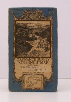
ORDNANCE SURVEY
Ordnance Survey ‘One-Inch’ Map. Fifth Edition. Truro and St. Austell
Sheet 143. [Scale: One Inch to One Mile].
Read more details
Topography
England
Books are listed by county following the boundaries defined in the Local Government Act 1888. Islands are included in the nearest mainland county (eg. Cornwall & Isles of Scilly).
Ireland, Scotland, Wales.
Books are arranged by country.