-

TURNPIKE ROADS 1831, Act of Parliament
An Act for continuing, until the Thirtieth Day of June
One Thousand Eight Hundred and Thirty-Two, the several Acts for regulating the Turnpike Roads in Great Britain which will expire at the End of the present Session of Parliament.
Read more details -

TURNPIKE ROADS 1831, Act of Parliament
An Act to amend the Acts for regulating Turnpike Roads in England
so far as they relate to certain Exemptions from Toll.
Read more details -

TURNPIKE ROADS 1831, Act of Parliament
An Act for amending and making more effectual the Laws concerning Turnpike Roads in Scotland
Read more details -

HIGHLANDS OF SCOTLAND 1833, Act of Parliament
An Act to amend Three Acts
passed for maintaining and keeping in repair the Military and Parliamentary Roads and Bridges in the Highlands of Scotland, and to improve certain Lines of Communication in the Counties of Inverness and Ross.
Read more details -
BAILEY (ed.), D.S.
Wells Cathedral Chapter Act Book 1666-83
Edited with an Introduction.
Read more details -
-
-

-

-

WOOD, H.
Tamworth Borough Records, being a Catalogue of Civic Records with Appendices
Read more details -

-
-
WALDIE, G.
A History of the Town and Palace of Linlithgow with Notices, historical and antiquarian, of Places of Interest in the Neighbourhood
Third edition.
Read more details -
-
WARD LOCK RED GUIDE
Guide to London. With Section Plans of Central London; Map of London and Twelve Miles Round; Railway Map; and 18 other maps and plans
Sixtieth Edition.
Read more details -
ORDNANCE SURVEY
Quarter-Inch Map of Great Britain. Sheet 6. North Midlands and Lincolnshire
Fourth Edition with National Grid. [Scale: Quarter-Inch to One Mile].
Read more details -
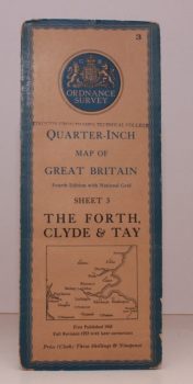
ORDNANCE SURVEY
Quarter-Inch Map of Great Britain. Sheet 3. The Forth, Clyde and Tay
Fourth Edition with National Grid. [Scale: Quarter-Inch to One Mile].
Read more details -
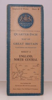
ORDNANCE SURVEY
Quarter-Inch Map of Great Britain. Sheet 2. England, North Central
Fourth Edition with National Grid. [Scale: Quarter-Inch to One Mile].
Read more details -
-
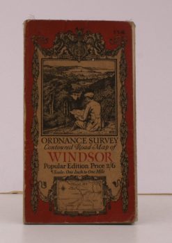
ORDNANCE SURVEY
Ordnance Survey Contoured Road Map of Windsor
Sheet 114. Popular Edition. Scale: One Inch to to One Mile.
Read more details -

YOUNG, Arthur
General View of the Agriculture of Hertfordshire
A Reprint of the Work Drawn up for the Consideration of the Board of Agriculture and Internal Improvement.
Read more details -

LYME REGIS.
Sunny Lyme Regis
Published under the Auspices of the Borough Advertising Committee. Twenty-Second Edition.
Read more details -
-
-
Topography
England
Books are listed by county following the boundaries defined in the Local Government Act 1888. Islands are included in the nearest mainland county (eg. Cornwall & Isles of Scilly).
Ireland, Scotland, Wales.
Books are arranged by country.