-
NORWAY, A.H.
Highways and Byways in Devon and Cornwall
With Illustrations by Joseph Pennell and Hugh Thomson.
Read more details -
STIFF, Rev. Neville G.J.
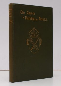
The Church in Dorking and District
With various Notes and Comments. A Simple Record chiefly relating to the Parish Church of St. Martin, Dorking.
Read more details -
TUDOR, Thomas L.
The Little Guide. Derbyshire
Revised by E. Carleton Williams. [Fifth Edition.]
Read more details -
BECKER, M. Janet
Rochester Bridge: 1387-1856
A History of its Early Years. Compiled from the Wardens' Accounts. With a Foreword by S.C. Ratcliff.
Read more details -
THOMPSON, Canon [H.P]
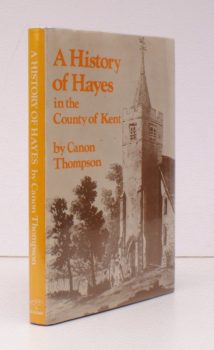
A History of Hayes in the County of Kent
[Facsimile reissue].
Read more details -
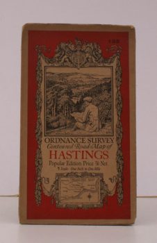
ORDNANCE SURVEY
Ordnance Survey Contoured Road Map of Hastings
Sheet 135. Scale: One Inch to to One Mile.
Read more details -
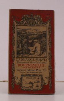
ORDNANCE SURVEY
Ordnance Survey Contoured Road Map of Bournemouth and Swanage
Sheet 141. Scale: One Inch to to One Mile.
Read more details -
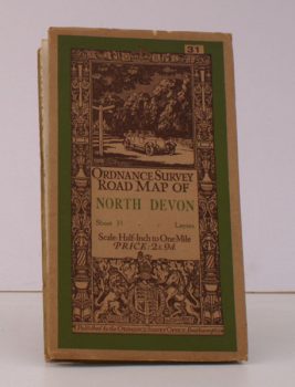
ORDNANCE SURVEY
Ordnance Survey Road Map of North Devon
Sheet 31. Layers. Scale: Half-Inch to One Mile
Read more details -
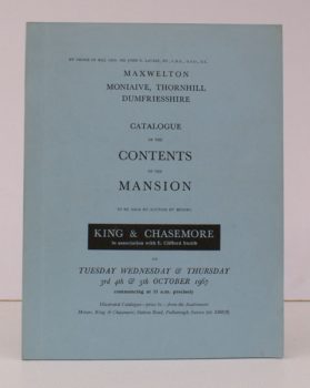
MAXWELTON, MONIAIVE
Maxwelton, Moniaive, Thornhill, Dumfriesshire
Catalogue of the Contents of the Mansion. 3-5 October 1967.
Read more details -
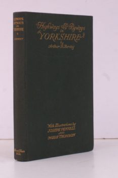
NORWAY, Arthur H.
Highways and Byways in Yorkshire
With Illustrations by Joseph Pennell and Hugh Thomson.
Read more details
Topography
England
Books are listed by county following the boundaries defined in the Local Government Act 1888. Islands are included in the nearest mainland county (eg. Cornwall & Isles of Scilly).
Ireland, Scotland, Wales.
Books are arranged by country.
