-
-

-
-
-

-

-

-

-
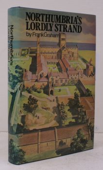
GRAHAM, Frank
Northumbria’s Lordly Strand
The Northumbrian Coast from Berwick to Tynemouth.
Read more details -
-

-

-

-

-

-

SMITH, Tony
Kettering Revisited
Pictures from the Past. [Foreword by Tony Ireson].
Read more details -
-
-

MEE, Arthur
The King’s England
Fully revised and edited by C.R. Councer. Illustrated with new Photographs by A.F. Kersting.
Read more details -
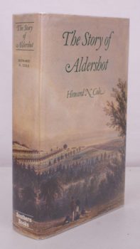
COLE, H.N.
The Story of Aldershot
A History of the Civil and Military Towns. [Second and Best Edition, with a Foreword by the Earl of Malmesbury].
Read more details -

THORNE, James
Rambles by Rivers
The Thames [with] The Avon [with] The Duddon, Mole, Adur, Arun, Wey, Lea, Dove.
Read more details -

ST. ALBANS
History of Verulam and St. Alban’s
Containing an Historical Account of the Decline of Verulam and Origin of St. Albans, and of the Present State of the Town, the Abbey and other Churches. [Sole Edition].
Read more details -
-
-

CROSBIE, Jane E.M.
Strangford’s Shores
Paintings by Alison Brown. Text by Jane E.M. Crosbie. [Second Impression].
Read more details
Topography
England
Books are listed by county following the boundaries defined in the Local Government Act 1888. Islands are included in the nearest mainland county (eg. Cornwall & Isles of Scilly).
Ireland, Scotland, Wales.
Books are arranged by country.