-
HOLY TRINITY CHURCH, STRATFORD-UPON-AVON.
[Guide to] The Collegiate Church of the Holy Trinity, Stratford-upon-Avon
Read more details -
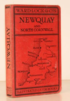
WARD LOCK RED GUIDE
A Pictorial and Descriptive Guide to Newquay, Perranporth and North Cornwall, including Tintagel, Padstow, Bude etc. Special Section for Motorists
Eleventh Edition, revised.
Read more details -
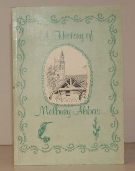
MELBURY ABBAS
A History of Melbury Abbas
Compiled by Members of the Melbury Abbas and Cann Womens Institute.
Read more details -
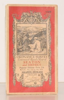
ORDNANCE SURVEY
Ordnance Survey Contoured Road Map of Seaton and District
Sheet 139. Popular Edition. Scale One Inch to One Mile
Read more details -
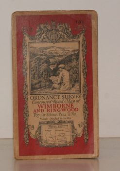
ORDNANCE SURVEY
Ordnance Survey Contoured Road Map of Wimborne and Ringwood
Sheet 131. Popular Edition. Scale One Inch to One Mile.
Read more details -
SALTER, Rev. Herbert Edward
Survey of Oxford. Volume I: North-East Ward; South-East Ward [with] Volume II: South-West Ward; North-West Ward; North Oxford. [Complete set.]
Edited by W.A. Pantin.
Read more details -
O'CONNELL, ed., Sheila
London Topographical Record. Vol. XXXIII
Edited by Sheila O'Connell.
Read more details -
VEREY, David
The Buildings of England. Gloucestershire. 1. The Cotswolds [with] Gloucestershire 2. The Vale and the Forest of Dean
[First Cloth Editions].
Read more details -
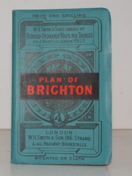
BRIGHTON.
Plan of Brighton [with comprehensive Street Index]
W. H. Smith's Series of Reduced Ordnance Survey Maps for Tourists by J. Bartholomew. [Scale: 2.5 inches to One Mile.]
Read more details -
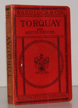
WARD LOCK RED GUIDE
A Pictorial and Descriptive Guide to Torquay, Paignton, Dartmouth, Kingsbridge, Totnes and other South Devon Resorts
Thirteenth Edition, revised.
Read more details -
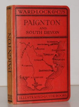
WARD LOCK RED GUIDE
A Pictorial and Descriptive Guide to Paignton, Torquay, Brixham, Dartmouth, Totnes, Kingsbridge etc. With a Special Section for Motorists
Fourteenth Edition, revised.
Read more details -
WAILES, Rex
Windmills in England
A Study of their Origin, Development and Future. [Second Edition.]
Read more details -
PAM, David
A History of Enfield. [Comprising:] A Parish near London [with] A Victorian Suburb [with] A Desirable Place to Live [with] A Time of Change. [Complete set.]
Read more details
Topography
England
Books are listed by county following the boundaries defined in the Local Government Act 1888. Islands are included in the nearest mainland county (eg. Cornwall & Isles of Scilly).
Ireland, Scotland, Wales.
Books are arranged by country.

