-
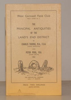
THOMAS, Charles
West Cornwall Field Club. Field Guide No. 2. The Principal Antiquities of the Land’s End District
Read more details -
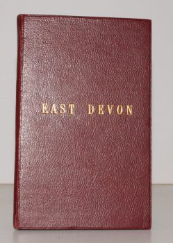
STANFORD'S MAP OF EAST DEVON
Stanford’s Map of East Devon
[Scale One Inch to One Statute Mile.]
Read more details -
GORDON, Seton
Highways and Byways in the Central Highlands
With Illustrations by Sir D. Y. Cameron. Foreword and a Glossary of Place-Name Elements with Aids to Pronunciation by W.J. Watson.
Read more details -
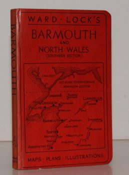
WARD LOCK RED GUIDE
Guide to Barmouth, Harlech, Dolgelley and North Wales (Southern Section). With a Special Section for Motorists and an Appendix for Anglers
Twelfth Edition.
Read more details -
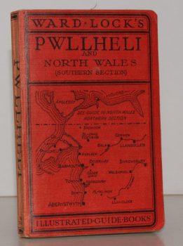
WARD LOCK RED GUIDE
Guide to Pwllheli, the Lleyn Peninsula and North Wales (Southern Section). With a Special Section for Motorists and an Appendix for Anglers
Tenth Edition.
Read more details -
CROMWELL], [Thomas Kitson
History of Sussex; or, Excursions in that County. Comprising brief Historical and Topographical Delineations. Forming a complete Guide for the Traveler and Tourist
Read more details -
WHITBREAD, Josiah
Whitbread’s Map of London extending Four Miles round Charing Cross
Read more details -
DALLAS], [Miss Mary
Our Journal at Winterbourn St. Martins
With Notes by Jo Draper.
Read more details -
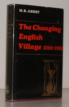
ASHBY, M K
The Changing English Village. A History of Bledington, Gloucestershire in its Setting, 1066-1914
Read more details -
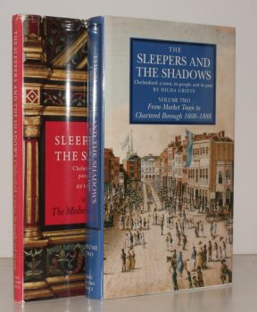
GRIEVE, Hilda
The Sleepers and the Shadows, Chelmsford: a Town, its People and its Past. [Complete set.]
Maps and Plans drawn by John Fulbeck.
Read more details -
PITT-RIVERS, Michael
Dorset
A Shell Guide. Incorporating Notes by Andrew Wordsworth. [Third Edition].
Read more details -
HOLY TRINITY CHURCH, STRATFORD-UPON-AVON.
[Guide to] The Collegiate Church of the Holy Trinity, Stratford-upon-Avon
Read more details -
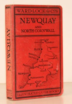
WARD LOCK RED GUIDE
A Pictorial and Descriptive Guide to Newquay, Perranporth and North Cornwall, including Tintagel, Padstow, Bude etc. Special Section for Motorists
Eleventh Edition, revised.
Read more details -
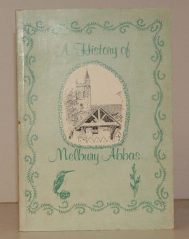
MELBURY ABBAS
A History of Melbury Abbas
Compiled by Members of the Melbury Abbas and Cann Womens Institute.
Read more details
Topography
England
Books are listed by county following the boundaries defined in the Local Government Act 1888. Islands are included in the nearest mainland county (eg. Cornwall & Isles of Scilly).
Ireland, Scotland, Wales.
Books are arranged by country.
