-
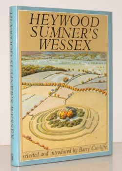
SUMNER, Heywood
Heywood Sumner’s Wessex
Selected and introduced by Barry Cunliffe.
Read more details -
-
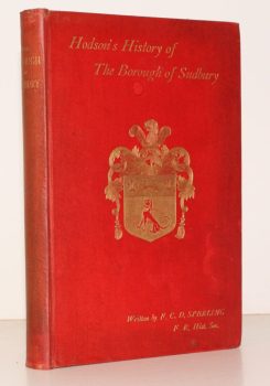
SPERLING, C. F. D.
A Short History of the Borough of Sudbury, in the County of Suffolk. Compiled from Materials collected by W.W. Hodson
[Second Edition.]
Read more details -

-

[WEST SUSSEX], Act of Parliament
An Act for Exchanging parts of the Settled Estates of Charles Duke of Norfolk for Fee Simple Estates of Charles Goring [of Wiston Park]
Read more details -
-
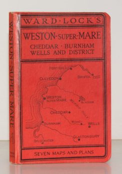
WARD LOCK RED GUIDE
Guide to Weston-Super-Mare, Clevedon, Burnham, the Mendips, Cheddar, Wells, Glastonbury etc.
Ninth Edition. Special Section for Motorists.
Read more details -
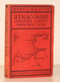
WARD LOCK RED GUIDE
A Pictorial and Descriptive Guide to Ilfracombe, Barnstaple, Bideford, Woolacombe and North-West Devon
Twelfth Edition, revised.
Read more details -
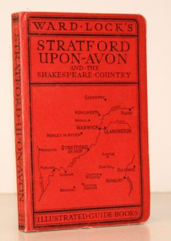
WARD LOCK RED GUIDE
Guide to Stratford-upon-Avon, Leamington, Warwick, Kenilworth and Shakespeare’s Warwickshire
Ninth Edition, revised.
Read more details -
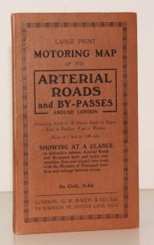
BACON'S ARTERIAL ROADS AROUND LONDON.
Large Print Motoring Map of the Arterial Roads and By-Passes around London, extending North to St. Albans, South to Epsom, East to Purfleet, West to Windsor. Scale of 1 Inch to 1.08 Miles
Showing at a glance arterial roads and by-passes built and under construction, first and second class roads with the Ministry of Transport numbers and mileage between towns.
Read more details -

LOWTHER, Anthony W. G.
The Roman Theatre at Verulamium (St. Albans). A Reconstruction
[Revised edition.]
Read more details -
WANKLYN, Cyril
Lyme Regis. A Prospect
[Second and Best Edition. Revised and Enlarged.]
Read more details -

-
ORDNANCE SURVEY
Ordnance Survey Contoured Road Map of Norwich and Great Yarmouth
Sheet 67. Popular Edition. Scale One Inch to One Mile.
Read more details -

FIRTH, J. B.
Highways and Byways in Derbyshire
With Illustrations by Nelly Erichsen.
Read more details -
TURNER, Ernest M.
The Parish Church of St. Lawrence, Eyam. A Little Guide for Visitors
Read more details -
-
-
PULMAN, George P. R.
The Book of the Axe; containing a Piscatorial Description of that Stream and Historical Sketches of all the Parishes upon its Banks. [Facsimile re-issue.]
Read more details -
PENNELL, Maude
Ilfracombe
Published for the Urban District Council by the Health Resorts Association
Read more details -
WARD LOCK RED GUIDE
Guide to Scarborough and the Yorkshire Coast, including Robin Hood’s Bay, Whitby, Filey, Flamborough and Bridlington
Eleventh Edition, revised.
Read more details -
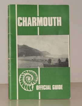
CHARMOUTH
Charmouth. The Official Guide. Published by the Charmouth Parish Council
Photographs by M.R. Davis. Text by E. Long.
Read more details -
-
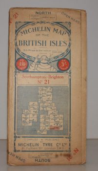
MICHELIN MAP SOUTHAMPTON - BRIGHTON
Michelin Map of the British Isles. No. 21. Southampton – Brighton
[Scale 3.15 miles to an Inch.]
Read more details -
Topography
England
Books are listed by county following the boundaries defined in the Local Government Act 1888. Islands are included in the nearest mainland county (eg. Cornwall & Isles of Scilly).
Ireland, Scotland, Wales.
Books are arranged by country.