-
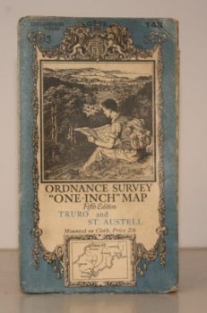
ORDNANCE SURVEY
Ordnance Survey One-Inch Map. Truro and St. Austell
Sheet 143. Fifth Edition. Scale: One Inch to to One Mile.
Read more details -
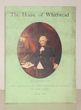
WHITBREAD GROUP OF COMPANIES
The House of Whitbread. The Magazine of the Whitbread Group of Companies. Spring 1950. Volume 10. Number 1
Read more details -
HALL, Helena
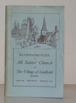
Illustrated Guide to All Saints’ Church and the Village of Lindfield, Sussex
Read more details -
HARRISON, Wing Commander H.C.
The Story of Sprowston Mill
With Decorations and Diagrams by Graham R. Nisbet.
Read more details -
WILTSHIRE NOTES AND QUERIES.
Wiltshire Notes and Queries. An Illustrated Quarterly Antiquarian and Genealogical Magazine. Volumes 1-8 inclusive
Read more details -
RAWNSLEY, Willingham Franklin
Highways and Byways in Lincolnshire
With Illustrations by Frederick L. Griggs.
Read more details -
WARD LOCK RED GUIDE
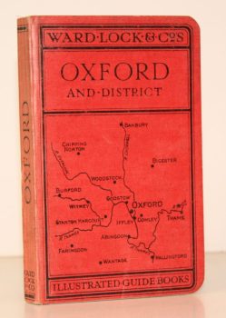
A Pictorial and Descriptive Guide to Oxford and District. With Key Plans of the Colleges
Third Edition, revised.
Read more details -
BOON, George C
Isca. The Roman Legionary Fortress at Caerleon, Mon. [with] Isca. A Guide [with] Caerleon and the Roman Forts in Wales in the Second Century AD Part I: Caerleon and Northern Wales [with] Part 2: Southern Wales
[Forewords by G.O. Jones and D. Dilwyn John respectively.]
Read more details -
VEREY, David
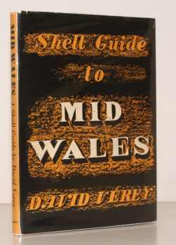
Mid Wales. The Counties of Brecon, Radnor and Montgomery. A Shell Guide
Read more details -
BENHAM, Hervey
Some Essex Water Mills
Drawings by James and Andrew Dodds. [Second Edition.]
Read more details -
VINCENT, James Edmund
Highways and Byways in Berkshire
With Illustrations by Frederick L. Griggs.
Read more details -
CHANCELLOR, E. Beresford
London’s Old Latin Quarter. Being an Account of Tottenham Court Road and its immediate Surroundings
Read more details -
WARD LOCK RED GUIDE
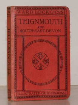
A Pictorial and Descriptive Guide to Teignmouth and the South Devon Coast from the Axe to the Teign. With a Description of Exeter and its Cathedral
Eighth Ediion, revised.
Read more details -
JONES, Sydney R.
England. England South [with] England West [with] England East. [Complete set.]
Read more details -
WITHAM, John A.
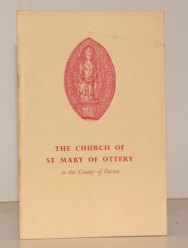
The Church of St. Mary of Ottery in the Country of Devon. A Short History and Guide
[Fifth Edition.]
Read more details -
BARTON, ed., R. M.
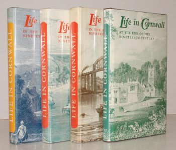
Life in Cornwall. Early Nineteenth Century [with] Mid- Nineteenth Century [with] Late Nineteenth Century [with] End of Nineteenth Century. [Complete set.]
Being Extracts from the West Briton Newspaper. Selected and edited by R. M. Barton.
Read more details
Topography
England
Books are listed by county following the boundaries defined in the Local Government Act 1888. Islands are included in the nearest mainland county (eg. Cornwall & Isles of Scilly).
Ireland, Scotland, Wales.
Books are arranged by country.
