-
GRIEVE, Hilda
The Sleepers and the Shadows, Chelmsford: a Town, its People and its Past. [Complete set.]
Maps and Plans drawn by John Fulbeck.
Read more details -
PITT-RIVERS, Michael
Dorset
A Shell Guide. Incorporating Notes by Andrew Wordsworth. [Third Edition].
Read more details -
HOLY TRINITY CHURCH, STRATFORD-UPON-AVON.
[Guide to] The Collegiate Church of the Holy Trinity, Stratford-upon-Avon
Read more details -
WARD LOCK RED GUIDE
A Pictorial and Descriptive Guide to Lyme Regis and the Dorset & Devon Borderland, including Seaton, Sidmouth, Axminster, Charmouth, Bridport, West Bay, Beaminster etc.
Seventh Edition, revised.
Read more details -
ORDNANCE SURVEY
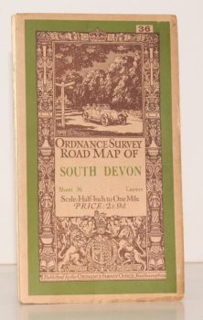
Ordnance Survey Road Map of South Devon
Sheet 36. Layered Edition. Scale Half-Inch Inch to One Mile
Read more details -
ORDNANCE SURVEY
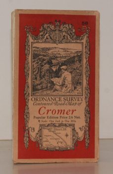
Ordnance Survey Contoured Road Map of Cromer
Sheet 58. Popular Edition. Scale One Inch to One Mile.
Read more details -
MARGARY, Ivan D.
Roman Ways in the Weald
With a Foreword by O.G.S. Crawford. [Third, revised, edition.]
Read more details -
PETERBOROUGH CATHEDRAL
A Short Guide to Peterborough Cathedral
By the Rev. R.E. Sibthorp.
Read more details -
SALTER, Rev. Herbert Edward
Survey of Oxford. Volume I: North-East Ward; South-East Ward [with] Volume II: South-West Ward; North-West Ward; North Oxford. [Complete set.]
Edited by W.A. Pantin.
Read more details -
O'CONNELL, ed., Sheila
London Topographical Record. Vol. XXXIII
Edited by Sheila O'Connell.
Read more details -
VEREY, David
The Buildings of England. Gloucestershire. 1. The Cotswolds [with] Gloucestershire 2. The Vale and the Forest of Dean
[First Cloth Editions].
Read more details -
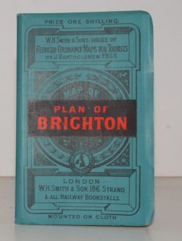
BRIGHTON.
Plan of Brighton [with comprehensive Street Index]
W. H. Smith's Series of Reduced Ordnance Survey Maps for Tourists by J. Bartholomew. [Scale: 2.5 inches to One Mile.]
Read more details -
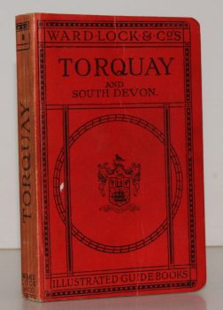
WARD LOCK RED GUIDE
A Pictorial and Descriptive Guide to Torquay, Paignton, Dartmouth, Kingsbridge, Totnes and other South Devon Resorts
Thirteenth Edition, revised.
Read more details -
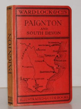
WARD LOCK RED GUIDE
A Pictorial and Descriptive Guide to Paignton, Torquay, Brixham, Dartmouth, Totnes, Kingsbridge etc. With a Special Section for Motorists
Fourteenth Edition, revised.
Read more details
Topography
England
Books are listed by county following the boundaries defined in the Local Government Act 1888. Islands are included in the nearest mainland county (eg. Cornwall & Isles of Scilly).
Ireland, Scotland, Wales.
Books are arranged by country.


