-
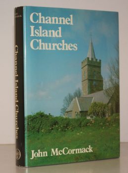
McCORMACK, John
Channel Islands Churches. A Study of the Medieval Churches and Chapels
Read more details -
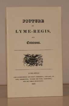
LYME REGIS
Picture of Lyme-Regis and Environs
[Facsimile reissue. With Introduction by John Fowles.]
Read more details -
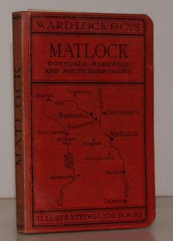
WARD LOCK RED GUIDE
A Pictorial and Descriptive Guide to Matlock, Dovedale, Chatsworth, Haddon Hall etc. Two District Maps and Map of Dovedale
Eleventh Edition - revised.
Read more details -
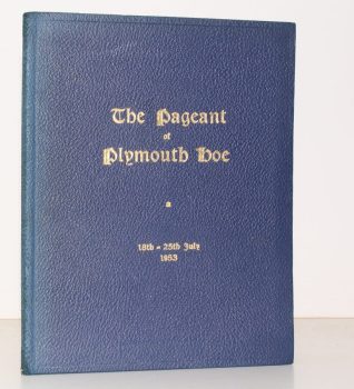
PLYMOUTH.
The Pageant of Plymouth Hoe. [18th-25th July 1953.]
Written by Crispin Gill. Produced by Cyril Penrose.
Read more details -
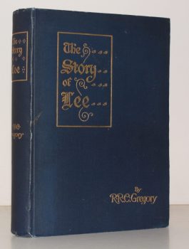
GREGORY, R. R. C.
The Story of Lee, being Records of the Ancient Parish of Lee and Parts of its immediate Neighbourhood, from Pre-Historic Times to the Present Day
Illustrated from old Prints, Photographs, and Special Drawings.
Read more details -
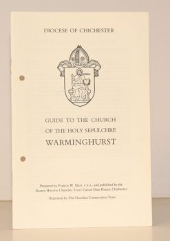
HOLY SEPULCHRE, WARMINGHURST
Guide to the Church of the Holy Sepulchre, Warminghurst
Read more details -
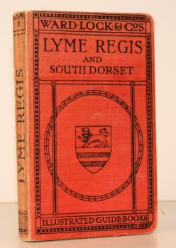
WARD LOCK RED GUIDE
A Pictorial and Descriptive Guide to Lyme Regis and the Dorset & Devon Borderland, including Seaton, Sidmouth, Axminster, Charmouth, Bridport, West Bay, Beaminster etc.
Seventh Edition, revised.
Read more details -
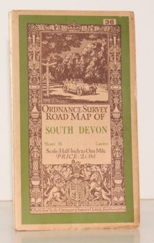
ORDNANCE SURVEY
Ordnance Survey Road Map of South Devon
Sheet 36. Layered Edition. Scale Half-Inch Inch to One Mile
Read more details -
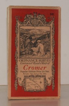
ORDNANCE SURVEY
Ordnance Survey Contoured Road Map of Cromer
Sheet 58. Popular Edition. Scale One Inch to One Mile.
Read more details -
MARGARY, Ivan D.
Roman Ways in the Weald
With a Foreword by O.G.S. Crawford. [Third, revised, edition.]
Read more details -
PETERBOROUGH CATHEDRAL
A Short Guide to Peterborough Cathedral
By the Rev. R.E. Sibthorp.
Read more details -
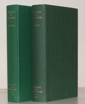
SALTER, Rev. Herbert Edward
Survey of Oxford. Volume I: North-East Ward; South-East Ward [with] Volume II: South-West Ward; North-West Ward; North Oxford. [Complete set.]
Edited by W.A. Pantin.
Read more details -
O'CONNELL, ed., Sheila
London Topographical Record. Vol. XXXIII
Edited by Sheila O'Connell.
Read more details -
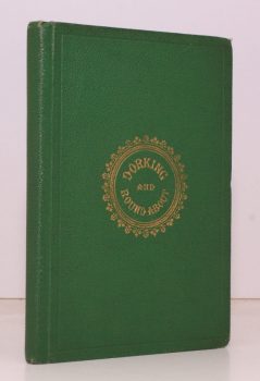
BRIGHT, J. S.
Dorking. A History of the Town, with a Description of the distinguished Residences, remarkable Places, Walks and Drives, and Literary Associations of the Neighbourhood
Read more details
Topography
England
Books are listed by county following the boundaries defined in the Local Government Act 1888. Islands are included in the nearest mainland county (eg. Cornwall & Isles of Scilly).
Ireland, Scotland, Wales.
Books are arranged by country.
