-
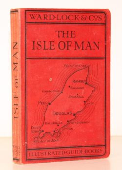
WARD LOCK RED GUIDE
A Pictorial and Descriptive Guide to the Isle of Man, with Map of the Island and Plans of Douglas and Ramsey
Seventh Edition, revised.
Read more details -
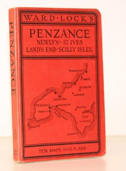
WARD LOCK RED GUIDE
Guide to Penzance and West Cornwall, including St. Ives, Land’s End, and the Isles of Scilly
Sixteenth Edition, revised.
Read more details -
FIELD, Norman H.
Dorset and the Second Legion. New Light on a Roman Campaign
[Foreword by Sheppard Frere.]
Read more details -
BAILEY, C.J.
The Bride Valley. The Story of the Past, with Photographs of the Present
Read more details -
LANG, Andrew
Highways and Byways in The Border
With Illustrations by Hugh Thomson.
Read more details -
WOODFORDE, Rev. James
The Diary of a Country Parson: the Reverend James Woodforde
Edited by John Beresford.
Read more details -
S. MARY, STONE
Historical Notes of the Parish Church of S. Mary, Stone
Second Edition.
Read more details -
MEW, Frederick
Back of the Wight. [Yarns of Wrecks and Smuggling]
[Revised Edition].
Read more details -
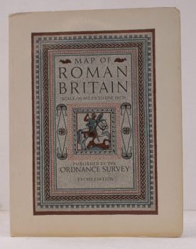
ORDNANCE SURVEY
Map of Roman Britain (Third Edition)
Scale: Sixteen Miles to One Inch.
Read more details -
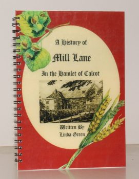
GREEN, Linda
A History of Mill Lane [in the Hamlet of Calcot]. A Millennium Souvenir
Read more details -
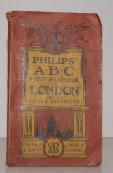
LONDON.
Philips’ ABC Pocket Atlas-Guide to London and its Outer Districts with Postal Areas.
Sixteenth and Enlarged Edition.
Read more details -
STAINES, Rev. E. Noel
Dear Amberley. A Guide to Amberley and History of the Parish
Read more details -
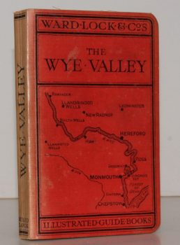
WARD LOCK RED GUIDE
A Pictorial and Descriptive Guide to the Wye Valley, including Llandrindod Wells and the Spas of Central Wales. Special Sections for Motorists and Anglers
Tenth Edition, revised.
Read more details -
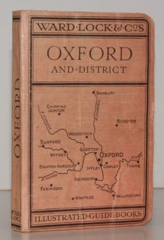
WARD LOCK RED GUIDE
A Pictorial and Descriptive Guide to Oxford and District
Third Edition.
Read more details -
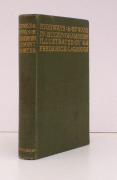
SHORTER, Clement K.
Highways and Byways in Buckinghamshire
With Illustrations by Frederick L. Griggs.
Read more details -
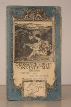
ORDNANCE SURVEY
Ordnance Survey One-Inch Map. Truro and St. Austell
Sheet 143. Fifth Edition. Scale: One Inch to to One Mile.
Read more details
Topography
England
Books are listed by county following the boundaries defined in the Local Government Act 1888. Islands are included in the nearest mainland county (eg. Cornwall & Isles of Scilly).
Ireland, Scotland, Wales.
Books are arranged by country.
