-
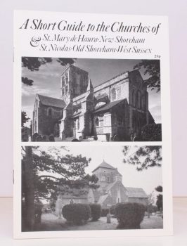
SHEPPARD], [Rev. Martin
A Short Guide to the Churches of St. Mary de Haura, New Shoreham, and St. Nicolas, Old Shoreham, West Sussex
Read more details -
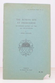
CUNCLIFFE, Barry
The Roman Site at Fishbourne
An Interim Report on the 1962 Excavations.
Read more details -
SCOTT, Martin
The Restoration of Windmills and Windpumps in Norfolk
Research and Text by Martin Scott. Book Design and Drawings by Mel Harris.
Read more details -
[WEST SUSSEX], Act of Parliament
An Act for Exchanging parts of the Settled Estates of Charles Duke of Norfolk for Fee Simple Estates of Charles Goring [of Wiston Park]
Read more details -
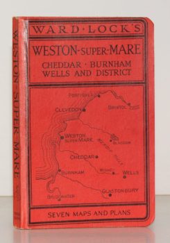
WARD LOCK RED GUIDE
Guide to Weston-Super-Mare, Clevedon, Burnham, the Mendips, Cheddar, Wells, Glastonbury etc.
Ninth Edition. Special Section for Motorists.
Read more details -
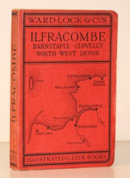
WARD LOCK RED GUIDE
A Pictorial and Descriptive Guide to Ilfracombe, Barnstaple, Bideford, Woolacombe and North-West Devon
Twelfth Edition, revised.
Read more details -
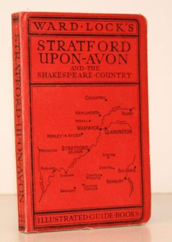
WARD LOCK RED GUIDE
Guide to Stratford-upon-Avon, Leamington, Warwick, Kenilworth and Shakespeare’s Warwickshire
Ninth Edition, revised.
Read more details -
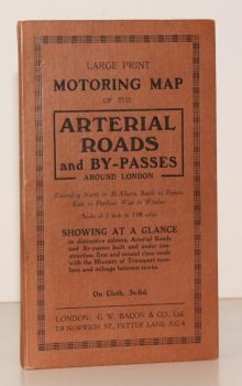
BACON'S ARTERIAL ROADS AROUND LONDON.
Large Print Motoring Map of the Arterial Roads and By-Passes around London, extending North to St. Albans, South to Epsom, East to Purfleet, West to Windsor. Scale of 1 Inch to 1.08 Miles
Showing at a glance arterial roads and by-passes built and under construction, first and second class roads with the Ministry of Transport numbers and mileage between towns.
Read more details -
LOWTHER, Anthony W. G.
The Roman Theatre at Verulamium (St. Albans). A Reconstruction
[Revised edition.]
Read more details -
WANKLYN, Cyril
Lyme Regis. A Prospect
[Second and Best Edition. Revised and Enlarged.]
Read more details -
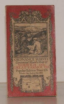
ORDNANCE SURVEY
Ordnance Survey Contoured Road Map of Norwich and Great Yarmouth
Sheet 67. Popular Edition. Scale One Inch to One Mile.
Read more details -
FIRTH, J. B.
Highways and Byways in Derbyshire
With Illustrations by Nelly Erichsen.
Read more details -
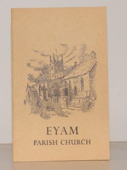
TURNER, Ernest M.
The Parish Church of St. Lawrence, Eyam. A Little Guide for Visitors
Read more details -
PULMAN, George P. R.
The Book of the Axe; containing a Piscatorial Description of that Stream and Historical Sketches of all the Parishes upon its Banks. [Facsimile re-issue.]
Read more details -
PENNELL, Maude
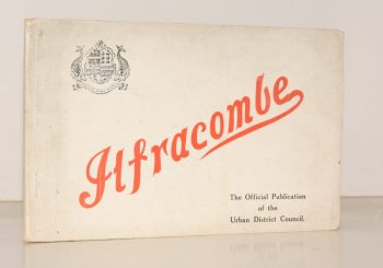
Ilfracombe
Published for the Urban District Council by the Health Resorts Association
Read more details
Topography
England
Books are listed by county following the boundaries defined in the Local Government Act 1888. Islands are included in the nearest mainland county (eg. Cornwall & Isles of Scilly).
Ireland, Scotland, Wales.
Books are arranged by country.
