-
SHEPPARD], [Rev. Martin
A Short Guide to the Churches of St. Mary de Haura, New Shoreham, and St. Nicolas, Old Shoreham, West Sussex
Read more details -
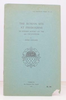
CUNCLIFFE, Barry
The Roman Site at Fishbourne
An Interim Report on the 1962 Excavations.
Read more details -
BENHAM, Hervey
Some Essex Water Mills
Drawings by James and Andrew Dodds. [Second Edition.]
Read more details -
VINCENT, James Edmund
Highways and Byways in Berkshire
With Illustrations by Frederick L. Griggs.
Read more details -
CHANCELLOR, E. Beresford
London’s Old Latin Quarter. Being an Account of Tottenham Court Road and its immediate Surroundings
Read more details -
WARD LOCK RED GUIDE
A Pictorial and Descriptive Guide to Teignmouth and the South Devon Coast from the Axe to the Teign. With a Description of Exeter and its Cathedral
Eighth Ediion, revised.
Read more details -
JONES, Sydney R.
England. England South [with] England West [with] England East. [Complete set.]
Read more details -
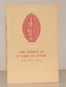
WITHAM, John A.
The Church of St. Mary of Ottery in the Country of Devon. A Short History and Guide
[Fifth Edition.]
Read more details -
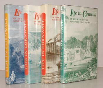
BARTON, ed., R. M.
Life in Cornwall. Early Nineteenth Century [with] Mid- Nineteenth Century [with] Late Nineteenth Century [with] End of Nineteenth Century. [Complete set.]
Being Extracts from the West Briton Newspaper. Selected and edited by R. M. Barton.
Read more details -
BROOK, Roy
The Story of Huddersfield
With a Foreword by The Rt. Hon. Harold Wilson. Introduction by Alderman Jack Sykes.
Read more details -
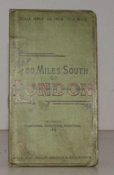
CYCLING & TOURING MAP 60 MILES SOUTH OF LONDON.
[Cycling and Touring] Map of 60 Miles South of London, including Worthing, Brighton, Hastings, etc.
Scale Half an Inch to a Mile.
Read more details -
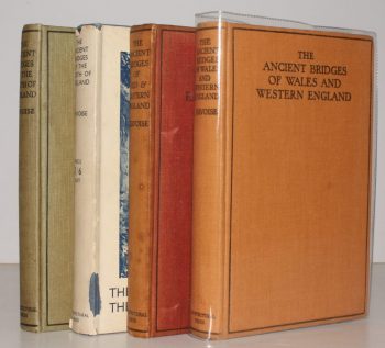
JERVOISE, Edwyn
The Ancient Bridges of England. The South of England [with] The North of England [with] Mid and Eastern England [with] Wales and Western England. [Complete set]
Read more details -
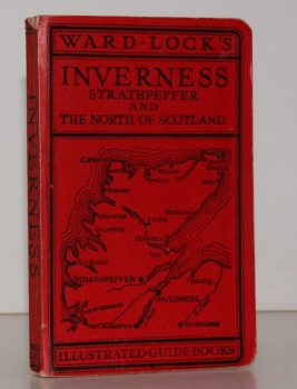
WARD LOCK RED GUIDE
Guide to Inverness, Strathpeffer, Nairn, Forres, Elgin and Northern Scotland
With Descriptions of the New Roads and a Special Section on 'Bird Life in Northern Scotland' by Seton Gordon.
Read more details -
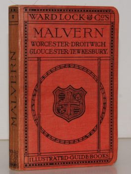
WARD LOCK RED GUIDE
A Pictorial and Descriptive Guide to Malvern and District, including Tewkesbury, Gloucester, Cheltenham, Worcester, Droitwich, Hereford etc.
Fourth Edition, revised.
Read more details -
HARRIS, L. E.
Vermuyden and the Fens. A Study of Sir Cornelius Vermuyden and the Great Level
Read more details -
FIRTH, J. B
Highways and Byways in Nottinghamshire
With Illustrations by Frederick L. Griggs.
Read more details
Topography
England
Books are listed by county following the boundaries defined in the Local Government Act 1888. Islands are included in the nearest mainland county (eg. Cornwall & Isles of Scilly).
Ireland, Scotland, Wales.
Books are arranged by country.


